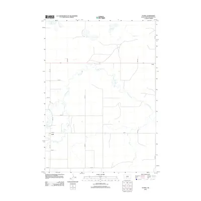
2012 Map of Tuthill
USGS Topo · Published 2012About this map
The Little White River meanders sharply across this portion of Bennett County, defining a landscape of riparian corridors and prairie wetlands. The small settlement of Tuthill sits near the southern bank of Lake Cr, serving as a localized point of habitation amidst an extensive grid of section roads including 231st Ave and 293rd St. Further east, the community of Vetal is situated along the highway, marking another pocket of residency in this agrarian region. Numerous natural basins and drainage features dot the northern landscape, notably White Lake, Silver Lake, and the Twin Lakes. These water bodies and the accompanying creeks, such as Pass Cr and Peck Cr, suggest a land shaped by seasonal hydrology and significant for local water access in the early twenty-first century.
Find a feature on this map
21 named features on this map. Tap any name to fly to it.
Don’t see what you’re looking for? This feature index may not catch every label — zoom into the map to look around manually.
Map Details
Editions of this 2012 Tuthill Map
This is the sole edition of this map. No revisions or reprints were ever made.
Other maps of this area

1955 · Martin
USGS Topo · 1:250,000

1958 · Martin
USGS Topo · 1:250,000

1981 · Patricia
USGS Topo · 1:25,000

1981 · Phantom Lake
USGS Topo · 1:25,000

1981 · Martin
USGS Topo · 1:25,000

1981 · Blackpipe
USGS Topo · 1:25,000

1981 · Scotchman Lake
USGS Topo · 1:25,000

1981 · Tuthill
USGS Topo · 1:25,000

1983 · Martin
USGS Topo · 1:100,000
2012 · Scotchman Lake
USGS Topo · 1:24,000