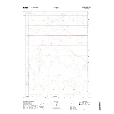
2017 Map of Tuthill
USGS Topo · Published 2017About this map
The Little White River meanders across this northern Great Plains landscape, creating a distinct hydrological pattern through Bennett County. The small community of Tuthill serves as a primary point of interest, situated near the western edge of the survey area where Lake Creek joins the main river system. This area preserves the localized geography of South Dakota's ranching country, where water sources like White Lake, Twin Lakes, and Silver Lake are critical markers on the terrain. The presence of the Tuthill Cemetery and the settlement of Vetal along the northern highway corridor highlight the sparse but established human footprint in this prairie environment. Modern thoroughfares like 293rd Street and 237 Avenue provide a framework for navigating the section lines and township boundaries that define the region's land use.
Find a feature on this map
19 named features on this map. Tap any name to fly to it.
Don’t see what you’re looking for? This feature index may not catch every label — zoom into the map to look around manually.
Map Details
Editions of this 2017 Tuthill Map
This is the sole edition of this map. No revisions or reprints were ever made.
Other maps of this area
1955 · Martin
USGS Topo · 1:250,000
1958 · Martin
USGS Topo · 1:250,000
1981 · Patricia
USGS Topo · 1:25,000
1981 · Phantom Lake
USGS Topo · 1:25,000
1981 · Martin
USGS Topo · 1:25,000
1981 · Blackpipe
USGS Topo · 1:25,000
1981 · Scotchman Lake
USGS Topo · 1:25,000
1981 · Tuthill
USGS Topo · 1:25,000
1983 · Martin
USGS Topo · 1:100,000
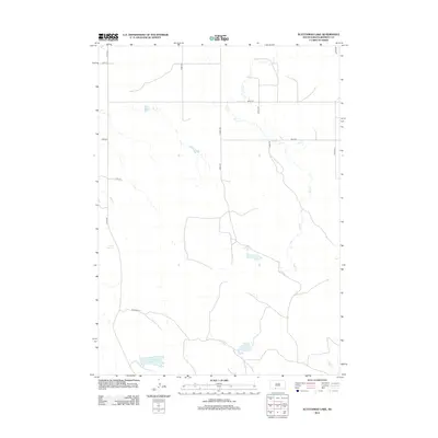
2012 · Scotchman Lake
USGS Topo · 1:24,000