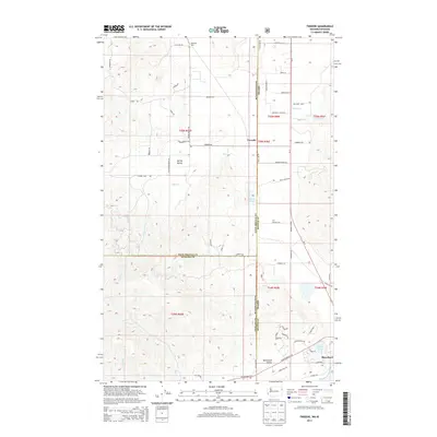
2014 Map of Tweedie
USGS Topo · Published 2014About this map
Blanchard and the adjacent Blanchard Valley sit at the southern edge of this multi-county borderland where Washington meets Idaho. The terrain transitions from the low-lying wetlands of Lake San Souci and Blanchard Creek toward the elevation of Spring Valley. Further north, the settlement of Tweedie marks a central crossroads along the state line, connected by Tweedie Road. This 2014 survey reveals a landscape defined by its jurisdictional complexity, where the boundaries of Pend Oreille, Spokane, and Bonner counties converge. The drainage patterns of McDonald Creek and Elmer Creek shape the rural topography, while family and local names such as Bensons Spur and Trask Pond indicate the historical pockets of activity that persist in this timber and valley region.
Find a feature on this map
65 named features on this map. Tap any name to fly to it.
Don’t see what you’re looking for? This feature index may not catch every label — zoom into the map to look around manually.
Map Details
Editions of this 2014 Tweedie Map
This is the sole edition of this map. No revisions or reprints were ever made.
Other maps of this area
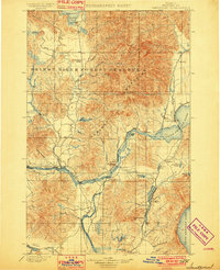
1901 · Sandpoint
USGS Topo · 1:125,000
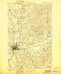
1901 · Spokane
USGS Topo · 1:125,000
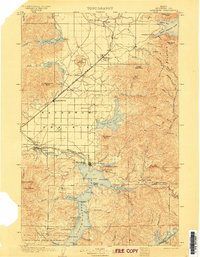
1903 · Rathdrum
USGS Topo · 1:125,000
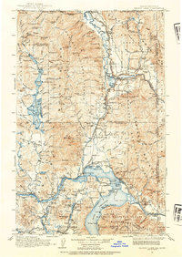
1911 · Priest Lake
USGS Topo · 1:250,000
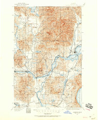
1911 · Sandpoint
USGS Topo · 1:125,000
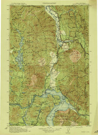
1913 · Priest Lake
USGS Topo · 1:250,000
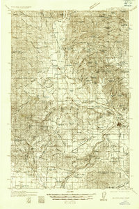
1936 · Newport
USGS Topo · 1:96,000
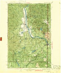
1942 · Newport
USGS Topo · 1:125,000
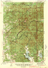
1943 · Mt Spokane
USGS Topo · 1:62,500
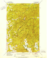
1950 · Mt Spokane
USGS Topo · 1:62,500