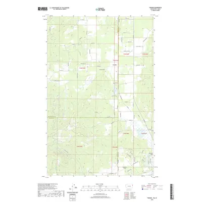
2020 Map of Tweedie
USGS Topo · Published 2020About this map
Tweedie and the surrounding high country of Spring Valley are documented here along the rugged border of Washington and Idaho. This landscape is defined by its rural road network and drainage systems, where McDonald Cr and McCabe Cr carve through the terrain. The map captures a transition between the open valley floors and the timbered slopes, featuring small-scale water bodies like Trask Pond and the more developed shores of Lake San Souci in the southeast corner near Blanchard Valley.
Find a feature on this map
72 named features on this map. Tap any name to fly to it.
Don’t see what you’re looking for? This feature index may not catch every label — zoom into the map to look around manually.
Map Details
Editions of this 2020 Tweedie Map
This is the sole edition of this map. No revisions or reprints were ever made.
Other maps of this area

1901 · Sandpoint
USGS Topo · 1:125,000

1901 · Spokane
USGS Topo · 1:125,000

1903 · Rathdrum
USGS Topo · 1:125,000

1911 · Priest Lake
USGS Topo · 1:250,000

1911 · Sandpoint
USGS Topo · 1:125,000

1913 · Priest Lake
USGS Topo · 1:250,000

1936 · Newport
USGS Topo · 1:96,000

1942 · Newport
USGS Topo · 1:125,000

1943 · Mt Spokane
USGS Topo · 1:62,500

1950 · Mt Spokane
USGS Topo · 1:62,500