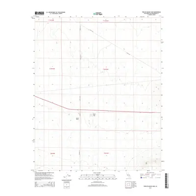
2015 Map of Twelve Gauge Lake
USGS Topo · Published 2015About this map
Twelve Gauge Lake sits as a central landmark in this portion of the Mojave Desert within San Bernardino County. This arid landscape is defined by its surveyor-straight section lines and a sparse network of desert roads, including Santa Fe Ave and Harper Lake Rd. The terrain is generally open, though it rises to the prominent peak of Iron Mtn in the southeast corner. The grid layout, indicated by township and range markers such as t10n r4w, shows the systematic organization of the public land survey system. This 2015 edition provides a detailed perspective on the geography of the high desert prior to more recent developments, showing the exact relationship between the seasonal basin of the lake and the surrounding mountain and road infrastructure.
Find a feature on this map
12 named features on this map. Tap any name to fly to it.
Don’t see what you’re looking for? This feature index may not catch every label — zoom into the map to look around manually.
Map Details
Editions of this 2015 Twelve Gauge Lake Map
This is the sole edition of this map. No revisions or reprints were ever made.
Other maps of this area
1915 · Searles Lake
USGS Topo · 1:250,000
1932 · Barstow
USGS Topo · 1:125,000
1934 · Barstow
USGS Topo · 1:125,000

1947 · Trona
USGS Topo · 1:250,000

1948 · Trona
USGS Topo · 1:250,000
1953 · San Bernardino
USGS Topo · 1:250,000

1953 · Trona
USGS Topo · 1:250,000
1955 · Opal Mountain
USGS Topo · 1:62,500
1956 · San Bernardino
USGS Topo · 1:250,000
1956 · Fremont Peak
USGS Topo · 1:62,500