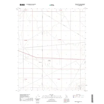
2018 Map of Twelve Gauge Lake
USGS Topo · Published 2018About this map
Twelve Gauge Lake sits at the heart of this dry landscape, centered in a region defined by the expansive Mojave Desert. The map reveals a grid of remote transportation corridors and section lines, with Harper Lake Rd and Helendale Rd providing primary north-south passage through the arid terrain. In the southeastern corner, the topography rises sharply toward the heights of Iron Mtn, which is skirted by Iron Mountain Rd.
Find a feature on this map
17 named features on this map. Tap any name to fly to it.
Don’t see what you’re looking for? This feature index may not catch every label — zoom into the map to look around manually.
Map Details
Editions of this 2018 Twelve Gauge Lake Map
This is the sole edition of this map. No revisions or reprints were ever made.
Other maps of this area
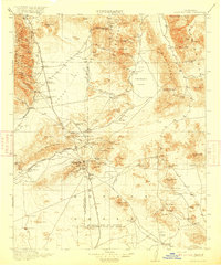
1915 · Searles Lake
USGS Topo · 1:250,000
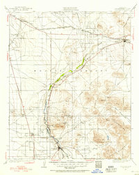
1932 · Barstow
USGS Topo · 1:125,000
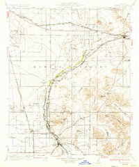
1934 · Barstow
USGS Topo · 1:125,000

1947 · Trona
USGS Topo · 1:250,000

1948 · Trona
USGS Topo · 1:250,000
1953 · San Bernardino
USGS Topo · 1:250,000

1953 · Trona
USGS Topo · 1:250,000
1955 · Opal Mountain
USGS Topo · 1:62,500
1956 · San Bernardino
USGS Topo · 1:250,000
1956 · Fremont Peak
USGS Topo · 1:62,500