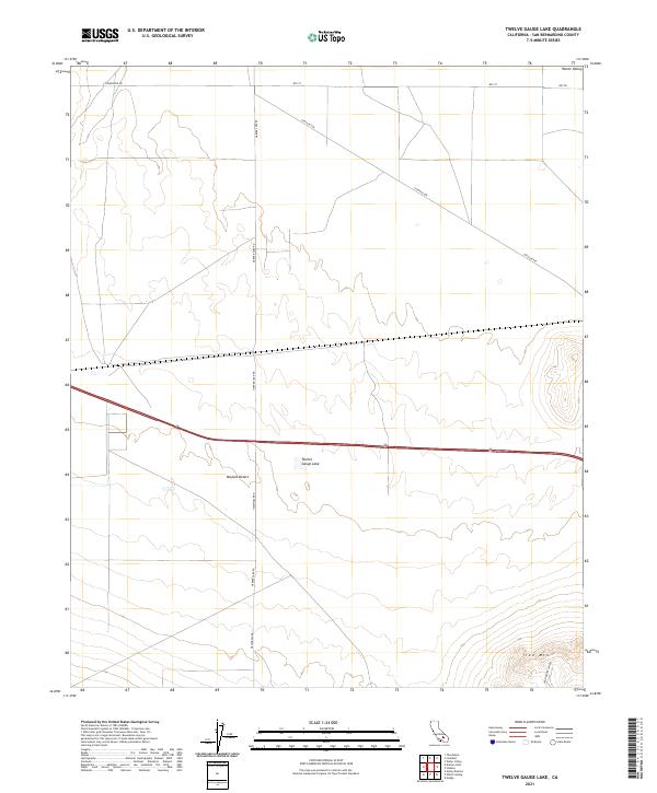
2021 Map of Twelve Gauge Lake
USGS Topo · Published 2021About this map
Twelve Gauge Lake sits at the heart of this arid landscape, a prominent hydrological feature within the sprawling Mojave Desert. The map reveals a highly structured grid of desert roads and survey lines, including Santa Fe Ave and Powerline Rd, which cut across the basin floor. This network reflects the systematic management of public lands and utility corridors in modern San Bernardino County. To the southeast, the terrain rises sharply toward the peak of Iron Mtn, where the topography becomes increasingly complex. Local transport routes like Helendale Rd and Harper Lake Rd provide access to this isolated region, while Iron Mountain Rd skirts the base of the namesake mountain. The sparse distribution of named features underscores the remote, open character of this high desert territory.
Find a feature on this map
16 named features on this map. Tap any name to fly to it.
Don’t see what you’re looking for? This feature index may not catch every label — zoom into the map to look around manually.
Map Details
Editions of this 2021 Twelve Gauge Lake Map
This is the sole edition of this map. No revisions or reprints were ever made.
Other maps of this area

1915 · Searles Lake
USGS Topo · 1:250,000

1932 · Barstow
USGS Topo · 1:125,000

1934 · Barstow
USGS Topo · 1:125,000

1947 · Trona
USGS Topo · 1:250,000

1948 · Trona
USGS Topo · 1:250,000

1953 · San Bernardino
USGS Topo · 1:250,000

1953 · Trona
USGS Topo · 1:250,000

1955 · Opal Mountain
USGS Topo · 1:62,500

1956 · San Bernardino
USGS Topo · 1:250,000

1956 · Fremont Peak
USGS Topo · 1:62,500