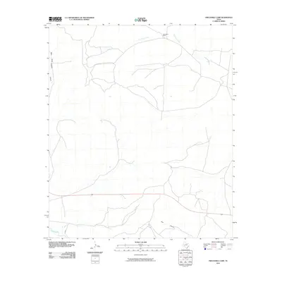
2010 Map of Twelvemile Camp
USGS Topo · Published 2010About this map
Twelvemile Camp serves as a central point in this arid West Texas landscape, situated near the headwaters of Twelvemile Creek. The terrain is defined by deep drainage systems including West Prong Simpson Canyon and Deer Canyon, which funnel seasonal runoff toward the southern boundary of the quadrangle. In the southwestern corner, the Pecos River carves a path through the limestone-dominated country, paralleled by the aptly named River Rd. This 2010 survey illustrates a sparsely populated ranching and petroleum region where human presence is marked primarily by an intricate network of primitive roads and well pads that stretch across the plateaus between the canyons.
Find a feature on this map
6 named features on this map. Tap any name to fly to it.
Don’t see what you’re looking for? This feature index may not catch every label — zoom into the map to look around manually.
Map Details
Editions of this 2010 Twelvemile Camp Map
This is the sole edition of this map. No revisions or reprints were ever made.
Other maps of this area
1928 · Rankin
USGS Topo · 1:125,000

1929 · Sheffield
USGS Topo · 1:125,000

1954 · Sonora
USGS Topo · 1:250,000

1954 · San Angelo
USGS Topo · 1:250,000

1958 · Sonora
USGS Topo · 1:250,000
1958 · San Angelo
USGS Topo · 1:250,000
1965 · San Angelo
USGS Topo · 1:250,000
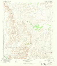
1967 · Twelvemile Camp
USGS Topo · 1:24,000
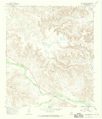
1967 · Divide Country
USGS Topo · 1:24,000
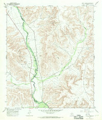
1967 · Deer Canyon
USGS Topo · 1:24,000