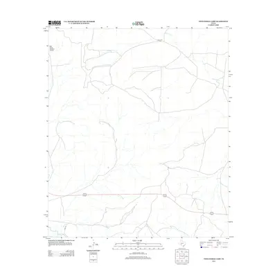
2012 Map of Twelvemile Camp
USGS Topo · Published 2012About this map
Pecos River waters define the southern reaches of this West Texas landscape, where the arid terrain is marked by deep draws and named drainages. Twelvemile Cr winds through the northern portion of the territory, eventually leading toward the settlement at Twelvemile Camp. This area of Pecos County is characterized by significant topographical shifts, most notably at East Prong Simpson Canyon in the northwest. Transportation in this era relied on the established path of River Rd, which traces the river's course, and the arterial highway network that cuts across the central plains to connect these remote outposts.
Find a feature on this map
5 named features on this map. Tap any name to fly to it.
Don’t see what you’re looking for? This feature index may not catch every label — zoom into the map to look around manually.
Map Details
Editions of this 2012 Twelvemile Camp Map
This is the sole edition of this map. No revisions or reprints were ever made.
Other maps of this area
1928 · Rankin
USGS Topo · 1:125,000

1929 · Sheffield
USGS Topo · 1:125,000

1954 · Sonora
USGS Topo · 1:250,000

1954 · San Angelo
USGS Topo · 1:250,000

1958 · Sonora
USGS Topo · 1:250,000
1958 · San Angelo
USGS Topo · 1:250,000
1965 · San Angelo
USGS Topo · 1:250,000
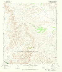
1967 · Twelvemile Camp
USGS Topo · 1:24,000
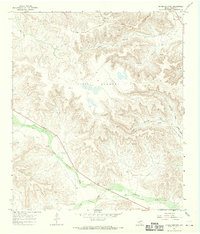
1967 · Divide Country
USGS Topo · 1:24,000
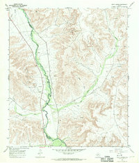
1967 · Deer Canyon
USGS Topo · 1:24,000