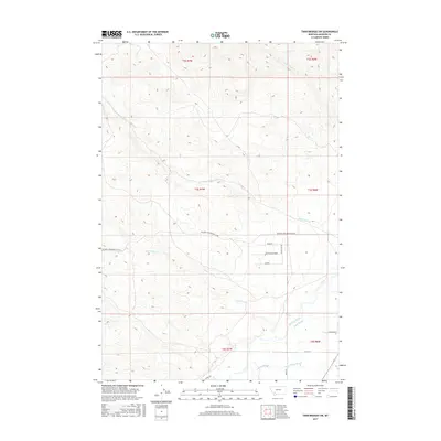
2017 Map of Twin Bridges SW
USGS Topo · Published 2017About this map
Big Hole River and its intricate network of side channels define the southwestern corner of this Madison County landscape. The river is flanked by Third Slough, Owsley Slough, and the aptly named Schoolhouse Slough, illustrating the dynamic floodplain that has shaped local agriculture and ranching for generations. The terrain rises from these bottomlands into the foothills, where numerous drainages such as Rochester Cr, Nez Perce Cr, and Cottonwood Cr carve through the high country.
Find a feature on this map
23 named features on this map. Tap any name to fly to it.
Don’t see what you’re looking for? This feature index may not catch every label — zoom into the map to look around manually.
Map Details
Editions of this 2017 Twin Bridges SW Map
This is the sole edition of this map. No revisions or reprints were ever made.
Other maps of this area
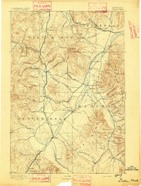
1893 · Dillon
USGS Topo · 1:250,000

1955 · Dillon
USGS Topo · 1:250,000

1957 · Dillon
USGS Topo · 1:250,000

1958 · Dillon
USGS Topo · 1:250,000
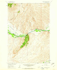
1960 · Block Mountain
USGS Topo · 1:24,000
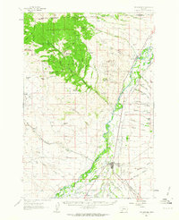
1960 · Twin Bridges
USGS Topo · 1:62,500
1961 · Wickiup Creek
USGS Topo · 1:24,000
1961 · Nez Perce Hollow
USGS Topo · 1:24,000

1962 · Dillon
USGS Topo · 1:250,000
1962 · Beaverhead Rock
USGS Topo · 1:24,000