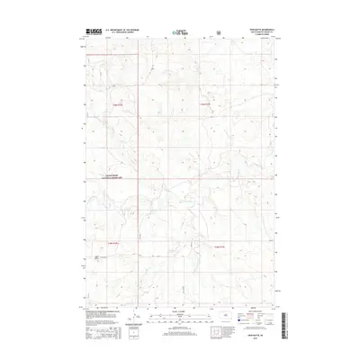
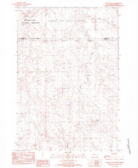
2015 Map of Twin Butte
USGS Topo · Published 2015About this map
Grand River National Grassland dominates the southern half of this landscape in Corson County, South Dakota, where the open plains are cut by a network of seasonal drainages. The namesake Twin Butte rises as a prominent landmark near Twin Butte Rd, overlooking a complex system of watercourses including Black Horse Butte Cr and Twin Butte Cr. The terrain reflects a quintessential Great Plains ranching and conservation environment, defined by a rigid section-line road grid that includes 215th Ave and 129th St. The mapping of small tributaries like Third Cr and the S Fork E Twin Butte Cr reveals the subtle but essential water sources that have historically supported grazing in this high-plains region of the Rock Creek District.
Find a feature on this map
17 named features on this map. Tap any name to fly to it.
Don’t see what you’re looking for? This feature index may not catch every label — zoom into the map to look around manually.
Map Details
Editions of this 2015 Twin Butte Map
This is the sole edition of this map. No revisions or reprints were ever made.
Other maps of this area

1953 · McIntosh
USGS Topo · 1:250,000
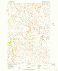
1956 · Cottonwood Creek NW
USGS Topo · 1:24,000
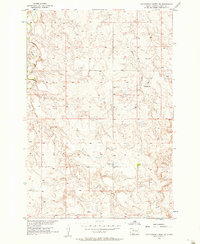
1956 · Cottonwood Creek SW
USGS Topo · 1:24,000

1958 · McIntosh
USGS Topo · 1:250,000
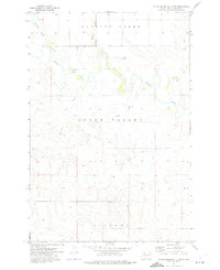
1972 · Black Horse Butte NW
USGS Topo · 1:24,000
1972 · Black Horse Butte
USGS Topo · 1:24,000
1972 · Twin Butte
USGS Topo · 1:24,000
1972 · Black Horse Butte NE
USGS Topo · 1:24,000
1980 · McIntosh
USGS Topo · 1:100,000
1982 · Glad Valley
USGS Topo · 1:24,000