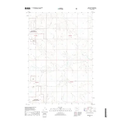
2017 Map of Twin Butte
USGS Topo · Published 2017About this map
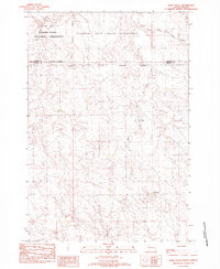
The Grand River National Grassland dominates this section of Corson County, preserving a landscape of rolling prairies and significant drainage systems. The map is centered on the prominent topographic rise of Twin Butte, which overlooks the surrounding plains and the small settlement of Twin Butte located at its base. The hydrological network is well-defined, featuring Third Cr, Black Horse Butte Cr, and the branching waters of Twin Butte Cr and E Fork E Twin Butte Cr. These waterways carve through the rangeland, illustrating the natural drainage patterns of the northern Great Plains. A sparse grid of local routes like 126th St and Twin Butte Rd provide the primary access through this protected federal land, reflecting a region dedicated to conservation and traditional grazing.
Find a feature on this map
17 named features on this map. Tap any name to fly to it.
Don’t see what you’re looking for? This feature index may not catch every label — zoom into the map to look around manually.
Map Details
Editions of this 2017 Twin Butte Map
This is the sole edition of this map. No revisions or reprints were ever made.
Other maps of this area

1953 · McIntosh
USGS Topo · 1:250,000
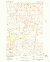
1956 · Cottonwood Creek NW
USGS Topo · 1:24,000
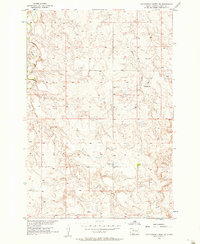
1956 · Cottonwood Creek SW
USGS Topo · 1:24,000

1958 · McIntosh
USGS Topo · 1:250,000
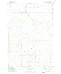
1972 · Black Horse Butte NW
USGS Topo · 1:24,000
1972 · Black Horse Butte
USGS Topo · 1:24,000
1972 · Twin Butte
USGS Topo · 1:24,000
1972 · Black Horse Butte NE
USGS Topo · 1:24,000
1980 · McIntosh
USGS Topo · 1:100,000
1982 · Glad Valley
USGS Topo · 1:24,000