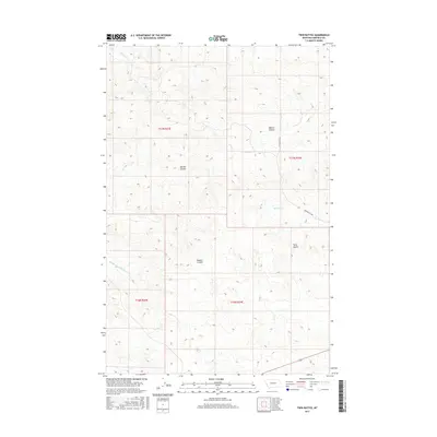
2017 Map of Twin Buttes
USGS Topo · Published 2017About this map
Twin Buttes rises as the primary landmark in this section of Garfield County, marking a high point in a landscape defined by an intricate network of drainage coulees. The terrain is deeply incised by watercourses such as Bobcat Coulee, Meckel Coulee, and Dugout Coulee, which channel runoff toward more significant streams like Union Cr and the Middle Fork Lodgepole Cr. This 2017 survey illustrates the sparse, high-plains infrastructure typical of this region, where Twin Buttes Rd serves as the primary artery for local access across the section lines. The map reveals the classic Public Land Survey System grid, highlighting how ranching and land management are organized around these natural watersheds, with Haislett Cr cutting through the eastern sections.
Find a feature on this map
12 named features on this map. Tap any name to fly to it.
Don’t see what you’re looking for? This feature index may not catch every label — zoom into the map to look around manually.
Map Details
Editions of this 2017 Twin Buttes Map
This is the sole edition of this map. No revisions or reprints were ever made.
Other maps of this area
1954 · Jordan
USGS Topo · 1:250,000
1956 · Jordan
USGS Topo · 1:250,000
1958 · Jordan
USGS Topo · 1:250,000
1964 · Jordan
USGS Topo · 1:250,000
1965 · Robertson School
USGS Topo · 1:24,000
1965 · Edwards
USGS Topo · 1:24,000
1965 · Sand Springs
USGS Topo · 1:24,000
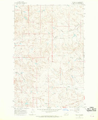
1965 · Twin Buttes
USGS Topo · 1:24,000
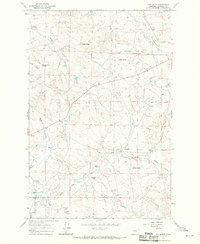
1967 · Cox Butte
USGS Topo · 1:24,000
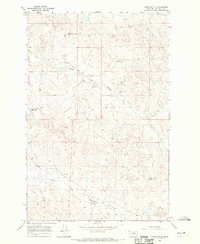
1967 · Coffin Butte
USGS Topo · 1:24,000