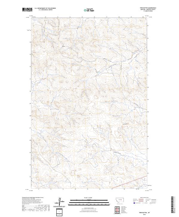
2024 Map of Twin Buttes
USGS Topo · Published 2024About this map
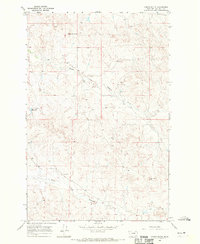
The landform of Twin Buttes anchor this Garfield County landscape, marking a terrain defined by deep coulees and intermittent drainage systems. The survey reveals a sparsely populated section of the Montana plains, where the Twin Buttes Rd provides the primary access route through a complex series of watercourses. The northern sections are drained by Bobcat Coulee and Meckel Coulee, while the southern portion of the quadrangle is defined by the Middle Fork Lodgepole Creek. This hydrographic network, including Union Creek and Haislett Creek, illustrates the erosional patterns of the regional geology. The map details the Public Land Survey System grid, dividing the territory into Townships 16 and 17 North across Ranges 33 and 34 East, capturing the quiet character of this rangeland in the modern era.
Find a feature on this map
12 named features on this map. Tap any name to fly to it.
Don’t see what you’re looking for? This feature index may not catch every label — zoom into the map to look around manually.
Map Details
Editions of this 2024 Twin Buttes Map
This is the sole edition of this map. No revisions or reprints were ever made.
Other maps of this area

1954 · Jordan
USGS Topo · 1:250,000

1956 · Jordan
USGS Topo · 1:250,000

1958 · Jordan
USGS Topo · 1:250,000

1964 · Jordan
USGS Topo · 1:250,000

1965 · Robertson School
USGS Topo · 1:24,000

1965 · Edwards
USGS Topo · 1:24,000
1965 · Sand Springs
USGS Topo · 1:24,000
1965 · Twin Buttes
USGS Topo · 1:24,000
1967 · Cox Butte
USGS Topo · 1:24,000
1967 · Coffin Butte
USGS Topo · 1:24,000