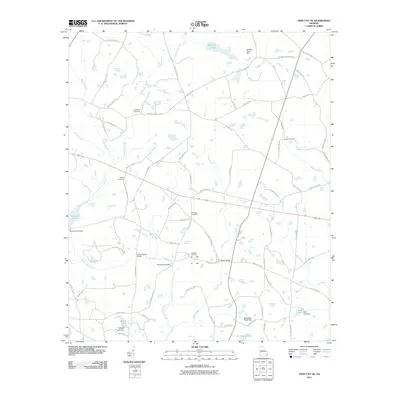
2011 Map of Twin City SE
USGS Topo · Published 2011About this map
Fifteenmile Creek and Sams Creek meander through this rural section of Bulloch County, carving a landscape defined by small ponds and family-named landmarks. The area is anchored by a series of local burial grounds, including Friendship Cemetery and El Bethel Cemetery, which serve as vital points of reference for genealogists tracking the region's long-established residents.
Find a feature on this map
80 named features on this map. Tap any name to fly to it.
Don’t see what you’re looking for? This feature index may not catch every label — zoom into the map to look around manually.
Map Details
Editions of this 2011 Twin City SE Map
This is the sole edition of this map. No revisions or reprints were ever made.
Other maps of this area

1920 · Statesboro
USGS Topo · 1:62,500

1921 · Rocky Ford
USGS Topo · 1:62,500

1943 · Rocky Ford
USGS Topo · 1:62,500

1943 · Millen
USGS Topo · 1:125,000

1943 · Statesboro
USGS Topo · 1:62,500

1947 · Savannah
USGS Topo · 1:250,000

1948 · Savannah
USGS Topo · 1:250,000

1957 · Macon
USGS Topo · 1:250,000

1957 · Savannah
USGS Topo · 1:250,000

1958 · Macon
USGS Topo · 1:250,000