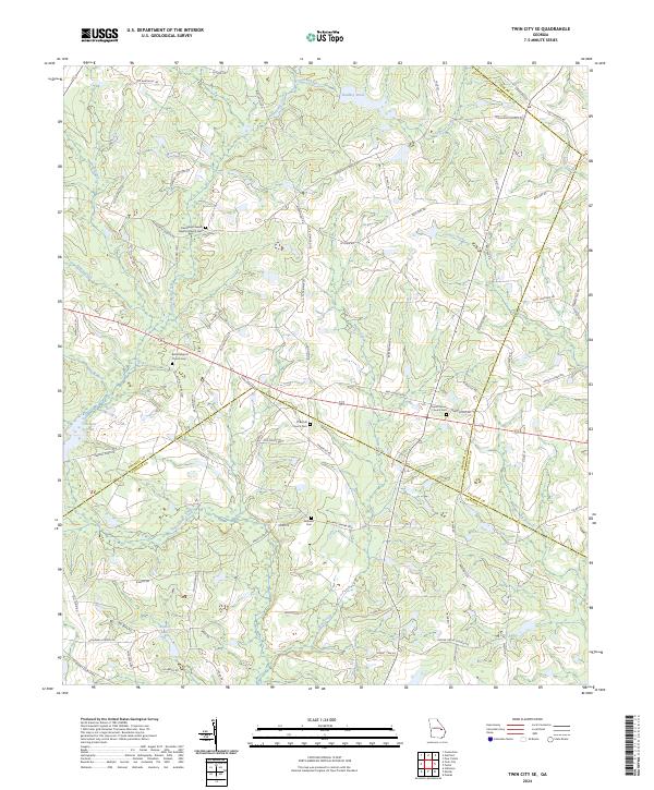
2024 Map of Twin City SE
USGS Topo · Published 2024About this map
Cypress Creek and Fifteenmile Creek define the low-lying hydrology of this Georgia landscape where the borders of Emanuel, Candler, Bulloch, and Jenkins counties converge. The area is characterized by a series of small, community-focused religious centers and their associated burial grounds, such as the Friendship Freewill Baptist Church Cem and the El Bethel Church Cem. These sites, often situated near water bodies like Watson Pond or Bowen Lake, served as the anchors for local rural life and genealogy.
Find a feature on this map
90 named features on this map. Tap any name to fly to it.
Don’t see what you’re looking for? This feature index may not catch every label — zoom into the map to look around manually.
Map Details
Editions of this 2024 Twin City SE Map
This is the sole edition of this map. No revisions or reprints were ever made.
Other maps of this area

1920 · Statesboro
USGS Topo · 1:62,500

1921 · Rocky Ford
USGS Topo · 1:62,500

1943 · Rocky Ford
USGS Topo · 1:62,500

1943 · Millen
USGS Topo · 1:125,000

1943 · Statesboro
USGS Topo · 1:62,500

1947 · Savannah
USGS Topo · 1:250,000

1948 · Savannah
USGS Topo · 1:250,000

1957 · Macon
USGS Topo · 1:250,000

1957 · Savannah
USGS Topo · 1:250,000

1958 · Macon
USGS Topo · 1:250,000