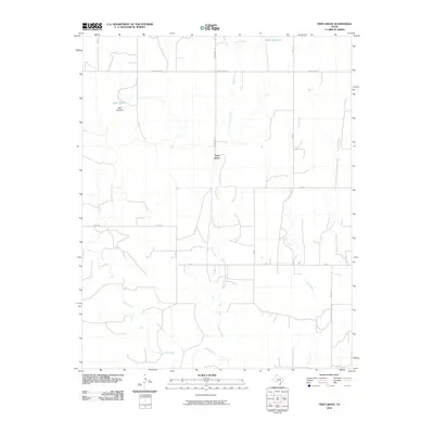
2010 Map of Twin Grove
USGS Topo · Published 2010About this map
Twin Grove serves as the central point of this High Plains landscape in Lipscomb County, where a network of numbered and named section-line roads structures the cattle and agricultural country. The drainage system is particularly distinct here, with Kiowa Creek and Wolf Creek being fed by a succession of numerical tributaries including First Creek, Second Creek, Third Creek, and Fourth Creek. This orderly naming convention reflects the systematic division of the Texas Panhandle's open range into manageable tracts.
Find a feature on this map
21 named features on this map. Tap any name to fly to it.
Don’t see what you’re looking for? This feature index may not catch every label — zoom into the map to look around manually.
Map Details
Editions of this 2010 Twin Grove Map
This is the sole edition of this map. No revisions or reprints were ever made.
Other maps of this area

1954 · Perryton
USGS Topo · 1:250,000

1958 · Perryton
USGS Topo · 1:250,000

1972 · Barton Corners
USGS Topo · 1:24,000

1972 · Dugout Creek
USGS Topo · 1:24,000

1972 · Lipscomb
USGS Topo · 1:24,000

1972 · Darrouzett
USGS Topo · 1:24,000

1972 · Gaylord
USGS Topo · 1:24,000

1972 · Twin Grove
USGS Topo · 1:24,000

1972 · Booker SE
USGS Topo · 1:24,000

1973 · Booker
USGS Topo · 1:24,000