
1972 Map of Lipscomb
USGS Topo · Published 1974About this map
Lipscomb serves as the focal point of this high plains survey, situated near the north bank of Wolf Creek. The town is supported by a network of drainage systems including Dugout Creek, Chicken Creek, and Fifth Creek, which carve into the surrounding flatlands. Local genealogy is anchored by St Johns Cem and a smaller Cem located east of the main settlement.
Find a feature on this map
21 named features on this map. Tap any name to fly to it.
Don’t see what you’re looking for? This feature index may not catch every label — zoom into the map to look around manually.
Map Details
Editions of this 1972 Lipscomb Map
This is the sole edition of this map. No revisions or reprints were ever made.
Other maps of this area

1954 · Perryton
USGS Topo · 1:250,000

1958 · Perryton
USGS Topo · 1:250,000

1972 · Barton Corners
USGS Topo · 1:24,000

1972 · Dugout Creek
USGS Topo · 1:24,000

1972 · Skunk Creek
USGS Topo · 1:24,000

1972 · Glazier
USGS Topo · 1:24,000

1972 · Willow Creek
USGS Topo · 1:24,000
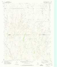
1972 · Lipscomb SW
USGS Topo · 1:24,000
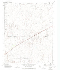
1972 · Coburn
USGS Topo · 1:24,000

1972 · Twin Grove
USGS Topo · 1:24,000