
1972 Map of Skunk Creek
USGS Topo · Published 1974About this map
The Oklahoma State Line defines the eastern boundary of this West Texas landscape, where the High Plains are deeply dissected by a drainage network feeding the North Canadian River system. In the early 1970s, the terrain was characterized by a dense concentration of oil wells and gas wells, connected by an extensive network of pipelines that trace the draws and plateaus. Settlement is sparse, with the locality of Schultz serving as a primary point of reference in a region dominated by energy extraction and ranching.
Find a feature on this map
12 named features on this map. Tap any name to fly to it.
Don’t see what you’re looking for? This feature index may not catch every label — zoom into the map to look around manually.
Map Details
Editions of this 1972 Skunk Creek Map
This is the sole edition of this map. No revisions or reprints were ever made.
Other maps of this area

1954 · Perryton
USGS Topo · 1:250,000

1958 · Perryton
USGS Topo · 1:250,000

1972 · Follett SE
USGS Topo · 1:24,000

1972 · Dugout Creek
USGS Topo · 1:24,000
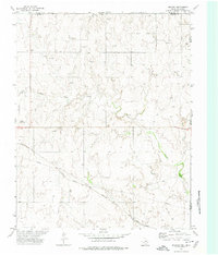
1972 · Magoun
USGS Topo · 1:24,000

1972 · Follett
USGS Topo · 1:24,000
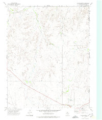
1972 · Higgins North
USGS Topo · 1:24,000

1972 · Willow Creek
USGS Topo · 1:24,000

1972 · Lipscomb
USGS Topo · 1:24,000

1972 · Darrouzett
USGS Topo · 1:24,000