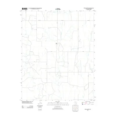
2012 Map of Twin Grove
USGS Topo · Published 2012About this map
Twin Grove anchors this high plains landscape in Lipscomb County, where the cattle-country grid is defined by a series of numbered county roads like Co Rd 6 and Co Rd N. The terrain is deeply grooved by a sequence of drainage systems including First Cr, Second Cr, Third Cr, and Fourth Cr, all feeding toward the larger drainage of Wolf Cr to the south and Kiowa Cr to the north. These ephemeral watercourses are vital landmarks in this arid region, as evidenced by the development of Deeds Reservoir and the presence of First Springs and Miller Lake. Small, sparsely populated locales such as Peety, Timmcity, and Duke mark the intersection of ranching life and geography. The large tract labeled Uncle Sam in the northern portion suggests public land management, while View Pt offers a specific topographic vantage over the watershed.
Find a feature on this map
21 named features on this map. Tap any name to fly to it.
Don’t see what you’re looking for? This feature index may not catch every label — zoom into the map to look around manually.
Map Details
Editions of this 2012 Twin Grove Map
This is the sole edition of this map. No revisions or reprints were ever made.
Other maps of this area
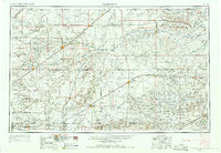
1954 · Perryton
USGS Topo · 1:250,000
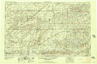
1958 · Perryton
USGS Topo · 1:250,000
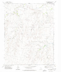
1972 · Barton Corners
USGS Topo · 1:24,000
1972 · Dugout Creek
USGS Topo · 1:24,000
1972 · Lipscomb
USGS Topo · 1:24,000
1972 · Darrouzett
USGS Topo · 1:24,000
1972 · Gaylord
USGS Topo · 1:24,000
1972 · Twin Grove
USGS Topo · 1:24,000
1972 · Booker SE
USGS Topo · 1:24,000
1973 · Booker
USGS Topo · 1:24,000