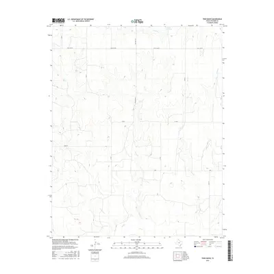
2016 Map of Twin Grove
USGS Topo · Published 2016About this map
Wolf Cr and its numbered tributaries define the drainage of this Texas Panhandle landscape, where the terrain transitions from high plains into a complex network of eroded draws. The northern section is dominated by the prominent Uncle Sam Rd and View Point Rd, which provide access to water features such as Miller Lake and the Deeds Reservoir. Near the western edge, First Springs indicates the natural water sources that once sustained the area's early cattle operations.
Find a feature on this map
20 named features on this map. Tap any name to fly to it.
Don’t see what you’re looking for? This feature index may not catch every label — zoom into the map to look around manually.
Map Details
Editions of this 2016 Twin Grove Map
This is the sole edition of this map. No revisions or reprints were ever made.
Other maps of this area
1954 · Perryton
USGS Topo · 1:250,000
1958 · Perryton
USGS Topo · 1:250,000
1972 · Barton Corners
USGS Topo · 1:24,000
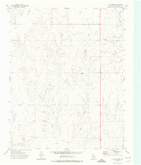
1972 · Dugout Creek
USGS Topo · 1:24,000
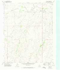
1972 · Lipscomb
USGS Topo · 1:24,000
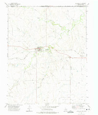
1972 · Darrouzett
USGS Topo · 1:24,000
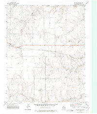
1972 · Gaylord
USGS Topo · 1:24,000
1972 · Twin Grove
USGS Topo · 1:24,000
1972 · Booker SE
USGS Topo · 1:24,000
1973 · Booker
USGS Topo · 1:24,000