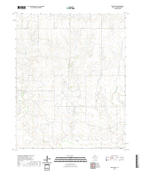
2022 Map of Twin Grove
USGS Topo · Published 2022About this map
Wolf Cr and its northern tributaries define this high plains landscape in the northeast corner of the Texas Panhandle. The terrain is deeply incised by a series of parallel drainages, including First Cr, Second Cr, Third Cr, and Fourth Cr, which carve through the plateau toward the larger creek valley in the south. This network of watercourses provided critical resources for early ranching and settlement in Lipscomb County, evidenced by named landmarks like First Springs and man-made water management at Deeds Reservoir and Miller Lake.
Find a feature on this map
20 named features on this map. Tap any name to fly to it.
Don’t see what you’re looking for? This feature index may not catch every label — zoom into the map to look around manually.
Map Details
Editions of this 2022 Twin Grove Map
This is the sole edition of this map. No revisions or reprints were ever made.
Other maps of this area

1954 · Perryton
USGS Topo · 1:250,000

1958 · Perryton
USGS Topo · 1:250,000

1972 · Barton Corners
USGS Topo · 1:24,000

1972 · Dugout Creek
USGS Topo · 1:24,000

1972 · Lipscomb
USGS Topo · 1:24,000

1972 · Darrouzett
USGS Topo · 1:24,000

1972 · Gaylord
USGS Topo · 1:24,000

1972 · Twin Grove
USGS Topo · 1:24,000

1972 · Booker SE
USGS Topo · 1:24,000

1973 · Booker
USGS Topo · 1:24,000