
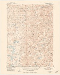
1950 Map of Twin Lakes
USGS Topo · Published 1950About this map
Pine Creek Valley dominates this 1940s landscape, illustrating the remote educational and ranching network of Sheridan County. The map reveals a high density of small, numbered schoolhouses such as School No 112, School No 32, and School No 127, indicating the scattered but organized rural population of the Nebraska Sandhills. These structures served as the social anchors for families living between the numerous shallow basins and seasonal water bodies that characterize this region.
Find a feature on this map
20 named features on this map. Tap any name to fly to it.
Don’t see what you’re looking for? This feature index may not catch every label — zoom into the map to look around manually.
Map Details
Editions of this 1950 Twin Lakes Map
2 editions found
Other maps of this area

1948 · Bingham
USGS Topo · 1:62,500

1948 · Antioch
USGS Topo · 1:62,500

1948 · Lakeside
USGS Topo · 1:62,500

1948 · Twin Lakes
USGS Topo · 1:62,500

1948 · Spade Ranch
USGS Topo · 1:62,500

1949 · Antioch
USGS Topo · 1:62,500

1950 · Spade Ranch
USGS Topo · 1:62,500

1950 · Lakeside
USGS Topo · 1:62,500

1950 · Skunk Lake
USGS Topo · 1:62,500

1950 · Bingham
USGS Topo · 1:62,500