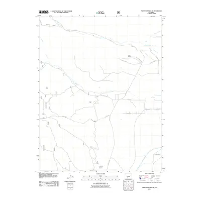
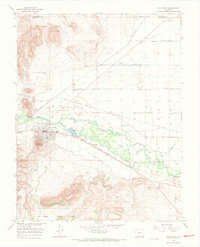
2011 Map of Twin Mountains SE
USGS Topo · Published 2011About this map
Crystal Hill Mine and the provocatively named Ghost Mine stand as silent markers of the mineral extraction history that shaped this corner of Saguache County. The landscape is defined by the drainage systems of Carnero Creek and La Garita Creek, which carve through the high-elevation terrain. In the northern reaches, the narrow passage at Hellgate and the depths of Coolbroth Canyon illustrate the geological constraints that once challenged early travelers and prospectors.
Find a feature on this map
33 named features on this map. Tap any name to fly to it.
Don’t see what you’re looking for? This feature index may not catch every label — zoom into the map to look around manually.
Map Details
Editions of this 2011 Twin Mountains SE Map
This is the sole edition of this map. No revisions or reprints were ever made.
Other maps of this area
1915 · Del Norte
USGS Topo · 1:125,000
1917 · Del Norte
USGS Topo · 1:125,000

1945 · Durango
USGS Topo · 1:250,000

1953 · Durango
USGS Topo · 1:250,000
1954 · Durango
USGS Topo · 1:250,000
1961 · Durango
USGS Topo · 1:250,000
1963 · Durango
USGS Topo · 1:250,000
1964 · Sevenmile Plaza
USGS Topo · 1:24,000
1966 · Durango
USGS Topo · 1:250,000
1966 · Del Norte
USGS Topo · 1:24,000