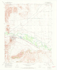
1966 Map of Del Norte
USGS Topo · Published 1968About this map
Del Norte serves as a vital hub along the Rio Grande in the mid-1960s, where the valley floor meets the rising peaks of the Rio Grande National Forest. This survey captures the complex irrigation network essential to the San Luis Valley, featuring the Rio Grande Canal and the Farmers Union Canal, alongside a series of numeric lateral roads like Tenmile Road and Sevenmile Road. The Denver and Rio Grande Western railroad tracks parallel the river, connecting the main town site to smaller locales such as Evansville and Plaza. Topographical landmarks like Lookout Mountain and the distinctive Elephant Rocks overlook the river's North Channel. For local historians and genealogists, the map identifies specific community fixtures including the Hospital, Ranger Sta, and the Del Norte Cem and Valdeses Cem.
Find a feature on this map
35 named features on this map. Tap any name to fly to it.
Don’t see what you’re looking for? This feature index may not catch every label — zoom into the map to look around manually.
Map Details
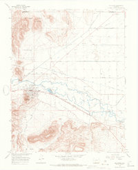
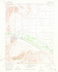
Editions of this 1966 Del Norte Map
3 editions found
Other maps of this area

1915 · Del Norte
USGS Topo · 1:125,000

1917 · Del Norte
USGS Topo · 1:125,000

1945 · Durango
USGS Topo · 1:250,000

1953 · Durango
USGS Topo · 1:250,000

1954 · Durango
USGS Topo · 1:250,000

1961 · Durango
USGS Topo · 1:250,000

1963 · Durango
USGS Topo · 1:250,000

1964 · Sevenmile Plaza
USGS Topo · 1:24,000

1964 · Monte Vista
USGS Topo · 1:24,000

1966 · Durango
USGS Topo · 1:250,000