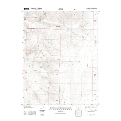
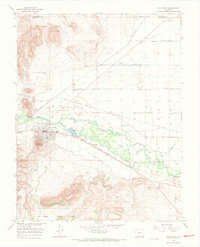
2013 Map of Twin Mountains SE
USGS Topo · Published 2013About this map
Rio Grande National Forest encompasses the vast majority of this landscape in Saguache County, where the high desert terrain transitions into prominent geological formations and drainage basins. Distinctive landmarks such as Elephant Rocks and Eagle Rock dominate the central and western topography, while the passage through Hellgate highlights the area's complex relief. The land is characterized by its hydrological features, including Barrel Spring and the managed flow of the Rio Grande Canal at the southern edge of the survey. A network of rural routes, such as La Garita Rd and numerous county roads, suggests a history of cattle ranching and access to seasonal water sources like La Garita Cr and Carnero Cr. This 2013 survey provides a detailed look at the interface between the national forest boundaries and the semi-arid plains of the San Luis Valley.
Find a feature on this map
34 named features on this map. Tap any name to fly to it.
Don’t see what you’re looking for? This feature index may not catch every label — zoom into the map to look around manually.
Map Details
Editions of this 2013 Twin Mountains SE Map
This is the sole edition of this map. No revisions or reprints were ever made.
Other maps of this area
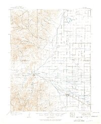
1915 · Del Norte
USGS Topo · 1:125,000
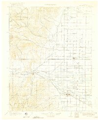
1917 · Del Norte
USGS Topo · 1:125,000

1945 · Durango
USGS Topo · 1:250,000

1953 · Durango
USGS Topo · 1:250,000
1954 · Durango
USGS Topo · 1:250,000
1961 · Durango
USGS Topo · 1:250,000
1963 · Durango
USGS Topo · 1:250,000
1964 · Sevenmile Plaza
USGS Topo · 1:24,000
1966 · Durango
USGS Topo · 1:250,000
1966 · Del Norte
USGS Topo · 1:24,000