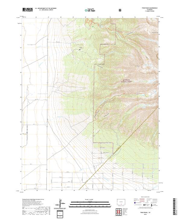
2022 Map of Twin Peaks
USGS Topo · Published 2022About this map
Pioneer Urraca Cem stands as a quiet marker of early habitation along the foothills where Pioneer Cr and Urraca Cr emerge from the high country. The landscape transitions sharply from the flat basin floor, defined by a rigid grid of roads like Urraca Rd and 17th St, into the protected wilderness of the Rio Grande National Forest and the Sangre De Cristo Conservation Area.
Find a feature on this map
67 named features on this map. Tap any name to fly to it.
Don’t see what you’re looking for? This feature index may not catch every label — zoom into the map to look around manually.
Map Details
Editions of this 2022 Twin Peaks Map
This is the sole edition of this map. No revisions or reprints were ever made.
Other maps of this area

1889 · Huerfano Park
USGS Topo · 1:125,000

1892 · Huerfano Park
USGS Topo · 1:125,000

1954 · Trinidad
USGS Topo · 1:250,000

1955 · Trinidad
USGS Topo · 1:250,000

1958 · Trinidad
USGS Topo · 1:250,000

1959 · Trinidad
USGS Topo · 1:250,000

1965 · Medano Ranch
USGS Topo · 1:24,000

1965 · Blanca
USGS Topo · 1:24,000

1965 · Zapata Ranch
USGS Topo · 1:24,000

1965 · Baldy
USGS Topo · 1:24,000