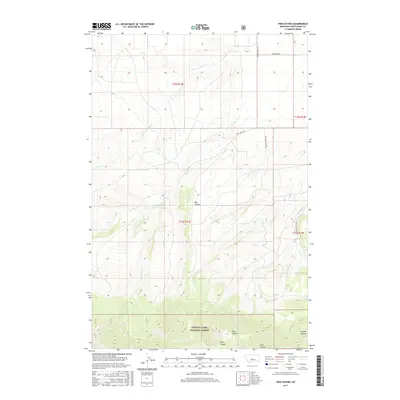
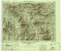
2017 Map of Twin Sisters
USGS Topo · Published 2017About this map
Lewis & Clark National Forest encompasses the southern portion of this landscape, dominated by the prominent peaks of the Twin Sisters. The terrain is defined by a network of deep drainages including Dark Canyon and Buffalo Canyon, which carve through the high country of central Montana. These geological features influence the path of local waterways like Antelope Cr and the W Fork Antelope Cr as they move across the transition from forest to the more open Big Coulee.
Find a feature on this map
21 named features on this map. Tap any name to fly to it.
Don’t see what you’re looking for? This feature index may not catch every label — zoom into the map to look around manually.
Map Details
Editions of this 2017 Twin Sisters Map
This is the sole edition of this map. No revisions or reprints were ever made.
Other maps of this area
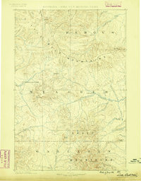
1886 · Little Belt Mts.
USGS Topo · 1:250,000
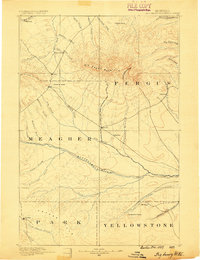
1889 · Big Snowy Mountain
USGS Topo · 1:250,000
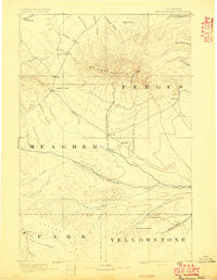
1893 · Big Snowy Mountain
USGS Topo · 1:250,000
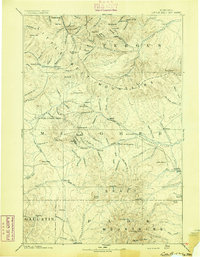
1894 · Little Belt Mts.
USGS Topo · 1:250,000
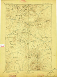
1897 · Little Belt Mts.
USGS Topo · 1:250,000
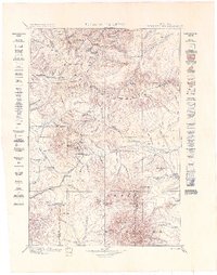
1898 · Little Belt Mts.
USGS Topo · 1:250,000
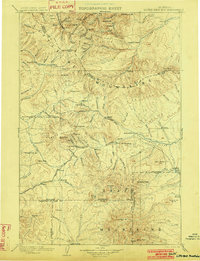
1902 · Little Belt Mts.
USGS Topo · 1:250,000
1948 · White Sulphur Springs
USGS Topo · 1:250,000

1954 · Roundup
USGS Topo · 1:250,000

1958 · Roundup
USGS Topo · 1:250,000