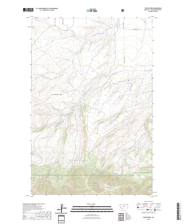
2024 Map of Twin Sisters
USGS Topo · Published 2024About this map
Twin Sisters and the surrounding high country of the Lewis & Clark National Forest dominate this landscape in the northern Little Belt Mountains. The terrain is deeply incised by drainage networks including Antelope Creek and its various forks, which flow northward through the township of t13n r13e. The map illustrates the sharp elevation changes between the high ridges and the dramatic Big Coulee, where the landscape transitions into the broader Judith Basin plains.
Find a feature on this map
22 named features on this map. Tap any name to fly to it.
Don’t see what you’re looking for? This feature index may not catch every label — zoom into the map to look around manually.
Map Details
Editions of this 2024 Twin Sisters Map
This is the sole edition of this map. No revisions or reprints were ever made.
Other maps of this area

1886 · Little Belt Mts.
USGS Topo · 1:250,000

1889 · Big Snowy Mountain
USGS Topo · 1:250,000

1893 · Big Snowy Mountain
USGS Topo · 1:250,000

1894 · Little Belt Mts.
USGS Topo · 1:250,000

1897 · Little Belt Mts.
USGS Topo · 1:250,000

1898 · Little Belt Mts.
USGS Topo · 1:250,000

1902 · Little Belt Mts.
USGS Topo · 1:250,000

1948 · White Sulphur Springs
USGS Topo · 1:250,000

1954 · Roundup
USGS Topo · 1:250,000

1958 · Roundup
USGS Topo · 1:250,000