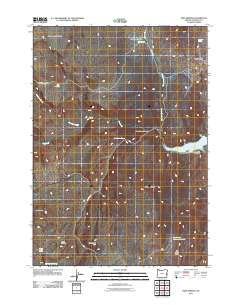
2011 Map of Twin Springs
USGS Topo · Published 2011About this map
Lake Owyhee serves as a primary geographical anchor in this arid stretch of Malheur County, where the eastern shoreline meets the high desert plateaus. The landscape is defined by its numerous isolated water sources, essential for ranching and wildlife, including Whiskey Spring, Dead Horse Spring, and Twin Springs. These features, along with names like Sourdough Basin and Oxbow Basin, reflect the area's history of cattle driving and range management. Transport is limited to rugged paths such as Twin Springs Rd and the Dry Creek Cutoff, tracing routes between significant elevations like Sourdough Mountain and Burnt Mountain. Small-scale infrastructure is visible at the Dry Creek Camp and the Dry Creek Buttes Reservoir, illustrating how water is managed and gathered in this high-elevation terrain near the Dry Creek Buttes.
Find a feature on this map
24 named features on this map. Tap any name to fly to it.
Don’t see what you’re looking for? This feature index may not catch every label — zoom into the map to look around manually.
Map Details
Editions of this 2011 Twin Springs Map
This is the sole edition of this map. No revisions or reprints were ever made.
Other maps of this area
1906 · Mitchell Butte
USGS Topo · 1:125,000
1955 · Boise
USGS Topo · 1:250,000
1958 · Boise
USGS Topo · 1:250,000
1962 · Boise
USGS Topo · 1:250,000
1967 · Pelican Point
USGS Topo · 1:24,000
1967 · Sourdough Spring
USGS Topo · 1:24,000
1967 · The Elbow
USGS Topo · 1:24,000
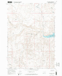
1967 · Twin Springs
USGS Topo · 1:24,000
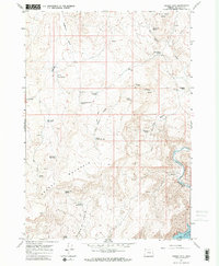
1967 · Grassy Mtn
USGS Topo · 1:24,000
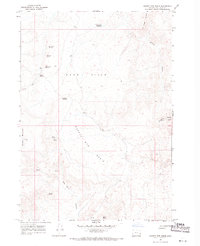
1967 · Quartz Mtn Basin
USGS Topo · 1:24,000