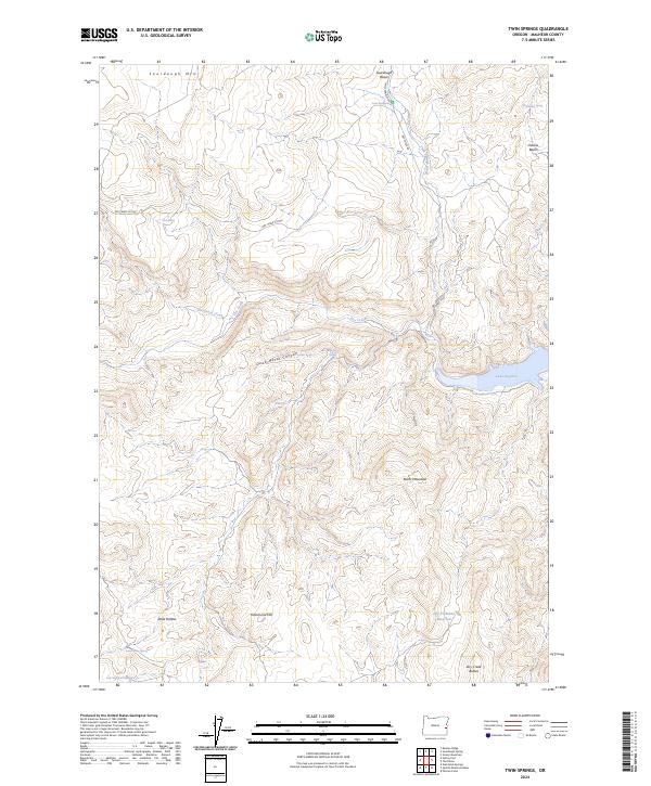
2024 Map of Twin Springs
USGS Topo · Published 2024About this map
Twin Springs and a network of seasonal water sources define this high-desert landscape in Malheur County, Oregon. The terrain is characterized by complex drainages and volcanic features, from the elevations of Sourdough Mtn and Burnt Mountain down to the eastern edge of Lake Owyhee. Named springs like Whiskey Spring, East Spring, and Dead Horse Spring indicate the critical importance of water management in this arid region, further evidenced by the Dry Cr Buttes Reservoir to the south. The area's geography is deeply incised by Dead Horse Canyon and the winding course of Dry Creek, which eventually reach the reservoir waters. Primitive access routes such as the Dry Creek Cutoff and Twin Springs Rd connect these remote landmarks, tracing the historic movement of people through Sourdough Basin and Oxbow Basin.
Find a feature on this map
28 named features on this map. Tap any name to fly to it.
Don’t see what you’re looking for? This feature index may not catch every label — zoom into the map to look around manually.
Map Details
Editions of this 2024 Twin Springs Map
This is the sole edition of this map. No revisions or reprints were ever made.
Other maps of this area

1906 · Mitchell Butte
USGS Topo · 1:125,000

1955 · Boise
USGS Topo · 1:250,000

1958 · Boise
USGS Topo · 1:250,000

1962 · Boise
USGS Topo · 1:250,000

1967 · Pelican Point
USGS Topo · 1:24,000
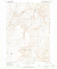
1967 · Sourdough Spring
USGS Topo · 1:24,000
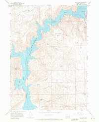
1967 · The Elbow
USGS Topo · 1:24,000

1967 · Twin Springs
USGS Topo · 1:24,000
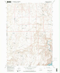
1967 · Grassy Mtn
USGS Topo · 1:24,000

1967 · Quartz Mtn Basin
USGS Topo · 1:24,000