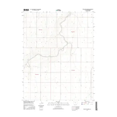
2016 Map of Two Butte Springs
USGS Topo · Published 2016About this map
Two Butte Springs emerges as a prominent hydrological landmark in this arid portion of the High Plains, feeding into the meandering course of Two Butte Creek. The landscape is defined by the rigid geometry of the Public Land Survey System, where section lines are traced by an extensive network of county roads including Co RD 32, Co RD N, and Co RD S. This 2016 survey illustrates the persistent ranching and agricultural framework of the region, where water sources like Plum Cr and Dry Cr dictate the layout of land use across the prairie. The presence of Rice Blvd among the standard numbered routes suggests localized developments or specific property access points within the larger township and range blocks of T25S and T26S.
Find a feature on this map
23 named features on this map. Tap any name to fly to it.
Don’t see what you’re looking for? This feature index may not catch every label — zoom into the map to look around manually.
Map Details
Editions of this 2016 Two Butte Springs Map
This is the sole edition of this map. No revisions or reprints were ever made.
Other maps of this area

1891 · Albany
USGS Topo · 1:125,000

1893 · Albany
USGS Topo · 1:125,000

1955 · La Junta
USGS Topo · 1:250,000

1958 · La Junta
USGS Topo · 1:250,000
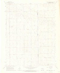
1966 · Durkee Creek NE
USGS Topo · 1:24,000
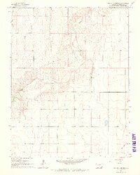
1966 · Two Butte Springs
USGS Topo · 1:24,000
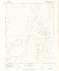
1966 · Durkee Creek NW
USGS Topo · 1:24,000
1966 · Durkee Creek SE
USGS Topo · 1:24,000

1968 · La Junta
USGS Topo · 1:250,000
1968 · North Plum Creek NE
USGS Topo · 1:24,000