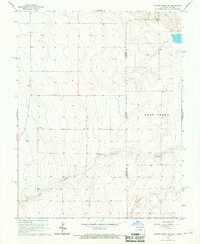
1966 Map of Durkee Creek SE
USGS Topo · Published 1967About this map
The high plains borderland between Prowers County and Hamilton County is the focus of this mid-1960s study, documenting the transition between Colorado and Kansas. The landscape is defined by the intermittent drainage patterns of Bear Creek, which is joined by North Bear Creek and Dry Creek as it winds eastward. This is an arid ranching environment where water access is the primary marker of human activity, evidenced by numerous scattered Wells and a lone Well site that supported local operations. Near the center of the sheet, the Garder Cem stands as a solitary genealogical landmark, indicating early settlement patterns in a region where few structures survived the shifts of twentieth-century land use.
Find a feature on this map
8 named features on this map. Tap any name to fly to it.
Don’t see what you’re looking for? This feature index may not catch every label — zoom into the map to look around manually.
Map Details
Editions of this 1966 Durkee Creek SE Map
This is the sole edition of this map. No revisions or reprints were ever made.
Other maps of this area

1891 · Albany
USGS Topo · 1:125,000

1893 · Albany
USGS Topo · 1:125,000

1900 · Syracuse
USGS Topo · 1:125,000

1920 · Syracuse
USGS Topo · 1:125,000

1955 · La Junta
USGS Topo · 1:250,000

1955 · Dodge City
USGS Topo · 1:250,000

1958 · La Junta
USGS Topo · 1:250,000

1958 · Dodge City
USGS Topo · 1:250,000

1959 · Dodge City
USGS Topo · 1:250,000

1966 · Syracuse West SW
USGS Topo · 1:24,000