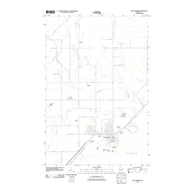
2010 Map of Two Harbors
USGS Topo · Published 2010About this map
Two Harbors serves as the focal point of this North Shore landscape, situated where the grid of the town meets the waters of Lake Superior. The shoreline is heavily marked by maritime and industrial infrastructure, including the Two Harbors Lighthouse, the Two Harbors Dock Dam, and the East Breakwater Light. North of the harbor, the settlement pattern shifts to a network of rural roads like Waldo Rd and Big Rock Rd, leading toward the smaller inland communities of Waldo and Stewart.
Find a feature on this map
70 named features on this map. Tap any name to fly to it.
Don’t see what you’re looking for? This feature index may not catch every label — zoom into the map to look around manually.
Map Details
Editions of this 2010 Two Harbors Map
This is the sole edition of this map. No revisions or reprints were ever made.
Other maps of this area

1953 · Knife River
USGS Topo · 1:24,000

1953 · Ashland
USGS Topo · 1:250,000

1954 · Mc Carthy Creek
USGS Topo · 1:24,000

1954 · Two Harbors
USGS Topo · 1:250,000

1956 · King Lake
USGS Topo · 1:24,000

1957 · Two Harbors
USGS Topo · 1:250,000

1957 · Two Harbors
USGS Topo · 1:62,500

1957 · Two Harbors
USGS Topo · 1:24,000

1957 · Two Harbors NE
USGS Topo · 1:24,000

1957 · Castle Danger
USGS Topo · 1:24,000