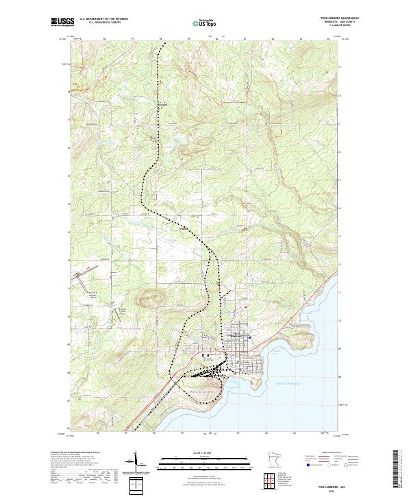
2022 Map of Two Harbors
USGS Topo · Published 2022About this map
Two Harbors serves as the focal point of this coastal Lake County survey, situated at the confluence of Agate Bay and Burlington Bay on the North Shore of Lake Superior. The town's grid is meticulously detailed, showing the Lake County District Court and the proximity of resting places such as Lakeview Cem and the Holy Spirit Catholic Cem. The landscape transitions from the urban center into the surrounding rural townships, including the smaller settlements of Stewart and Waldo.
Find a feature on this map
72 named features on this map. Tap any name to fly to it.
Don’t see what you’re looking for? This feature index may not catch every label — zoom into the map to look around manually.
Map Details
Editions of this 2022 Two Harbors Map
This is the sole edition of this map. No revisions or reprints were ever made.
Other maps of this area
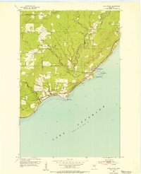
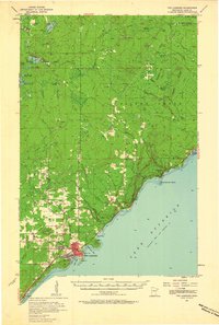
1953 · Knife River
USGS Topo · 1:24,000

1953 · Ashland
USGS Topo · 1:250,000
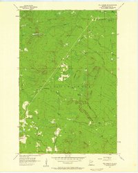
1954 · Mc Carthy Creek
USGS Topo · 1:24,000

1954 · Two Harbors
USGS Topo · 1:250,000
1956 · King Lake
USGS Topo · 1:24,000

1957 · Two Harbors
USGS Topo · 1:250,000
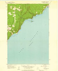
1957 · Two Harbors
USGS Topo · 1:62,500

1957 · Two Harbors
USGS Topo · 1:24,000
1957 · Two Harbors NE
USGS Topo · 1:24,000
1957 · Castle Danger
USGS Topo · 1:24,000