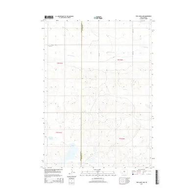
2015 Map of Two Lance Lake
USGS Topo · Published 2015About this map
The Little White River flows across this remote stretch of the Pine Ridge reservation, marking a landscape defined by seasonal watercourses and small, isolated lakes. Near the northern boundary, the Wakpamani Loop provides access to the Knight Cem, a small but significant site for local family history research. The terrain is characterized by the convergence of several drainages, including Stinking Water Cr, which feeds into the larger river system. Toward the south, the namesake Two Lance Lake and the nearby Alkali Lake represent the arid character of this region, where water features often cluster in depressions between the rising contours of the high plains. This map illustrates the sparse infrastructure and natural hydrography along the boundary of Oglala Lakota and Bennett counties.
Find a feature on this map
13 named features on this map. Tap any name to fly to it.
Don’t see what you’re looking for? This feature index may not catch every label — zoom into the map to look around manually.
Map Details
Editions of this 2015 Two Lance Lake Map
This is the sole edition of this map. No revisions or reprints were ever made.
Other maps of this area

1950 · Irwin
USGS Topo · 1:62,500

1951 · Irwin
USGS Topo · 1:62,500

1955 · Hot Springs
USGS Topo · 1:250,000

1955 · Alliance
USGS Topo · 1:250,000

1955 · Martin
USGS Topo · 1:250,000

1957 · Alliance
USGS Topo · 1:250,000

1957 · Valentine
USGS Topo · 1:250,000

1958 · Martin
USGS Topo · 1:250,000

1958 · Alliance
USGS Topo · 1:250,000

1959 · Valentine
USGS Topo · 1:250,000