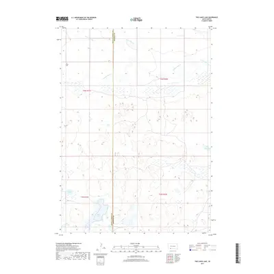
2017 Map of Two Lance Lake
USGS Topo · Published 2017About this map
Little White River and Stinking Water Cr define the northern drainage of this section of the High Plains, where the border between Oglala Lakota and Bennett counties runs north to south. The landscape is characterized by numerous small lake basins and depressions, including the named Two Lance Lake, Ross Lake, and Alkali Lake. These bodies of water are critical landmarks in an otherwise open, undulating terrain. Genealogists and local historians will find the Knight Cem in the northwest, one of the few named cultural landmarks in this rural area. The map illustrates a contemporary view of the region's hydrography, showing how local drainages like Little Locke Lake and Posey Lake interact with the surrounding topography within the Pine Ridge area.
Find a feature on this map
13 named features on this map. Tap any name to fly to it.
Don’t see what you’re looking for? This feature index may not catch every label — zoom into the map to look around manually.
Map Details
Editions of this 2017 Two Lance Lake Map
This is the sole edition of this map. No revisions or reprints were ever made.
Other maps of this area

1950 · Irwin
USGS Topo · 1:62,500

1951 · Irwin
USGS Topo · 1:62,500

1955 · Hot Springs
USGS Topo · 1:250,000

1955 · Alliance
USGS Topo · 1:250,000

1955 · Martin
USGS Topo · 1:250,000

1957 · Alliance
USGS Topo · 1:250,000

1957 · Valentine
USGS Topo · 1:250,000

1958 · Martin
USGS Topo · 1:250,000

1958 · Alliance
USGS Topo · 1:250,000

1959 · Valentine
USGS Topo · 1:250,000