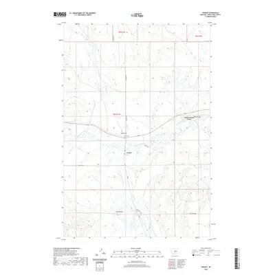
2020 Map of Twodot
USGS Topo · Published 2020About this map
The Musselshell River winds through this central Montana landscape, defining the character of the ranching country around Twodot. The settlement pattern here is anchored by the community at Duncan Ranch Colony and the small town of Twodot, which features a local Po and the nearby Twodot Cem. Water management is central to the area's geography, evidenced by the Twodot Canal and various tributaries like Haymaker Cr and Alkali Cr. To the south of the river, the terrain is marked by distinctive local landmarks such as Suicide Hill and ridges accessed by routes like Miller Crk Rd and Horse Butte Ln. This map captures a modern view of Wheatland County's agricultural heritage, where traditional ranching operations and communal colonies coexist alongside the natural drainage of the Musselshell basin.
Find a feature on this map
21 named features on this map. Tap any name to fly to it.
Don’t see what you’re looking for? This feature index may not catch every label — zoom into the map to look around manually.
Map Details
Editions of this 2020 Twodot Map
This is the sole edition of this map. No revisions or reprints were ever made.
Other maps of this area

1886 · Little Belt Mts.
USGS Topo · 1:250,000

1889 · Big Snowy Mountain
USGS Topo · 1:250,000

1893 · Big Snowy Mountain
USGS Topo · 1:250,000

1894 · Little Belt Mts.
USGS Topo · 1:250,000

1897 · Little Belt Mts.
USGS Topo · 1:250,000

1898 · Little Belt Mts.
USGS Topo · 1:250,000

1902 · Little Belt Mts.
USGS Topo · 1:250,000

1948 · White Sulphur Springs
USGS Topo · 1:250,000

1954 · Roundup
USGS Topo · 1:250,000

1958 · Roundup
USGS Topo · 1:250,000