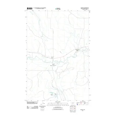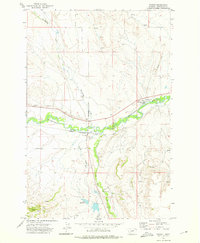
1972 Map of Twodot
USGS Topo · Published 1976About this map
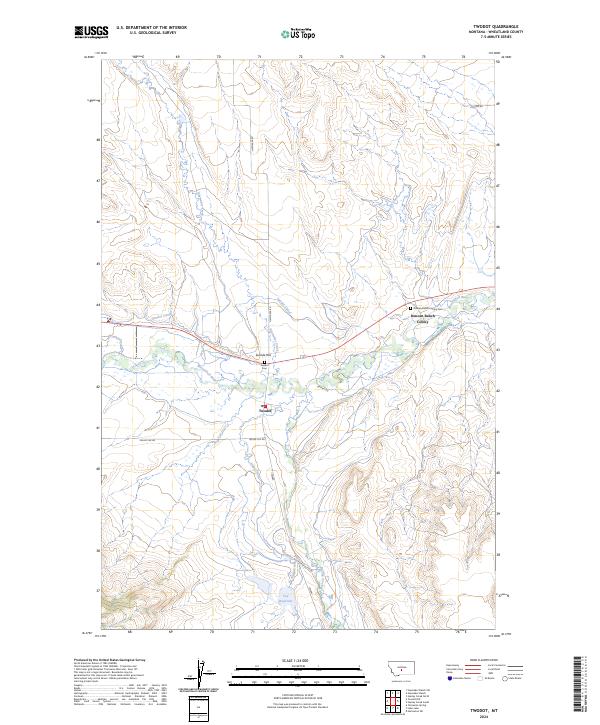
The Chicago Milwaukee St Paul and Pacific railroad bisects this Montana landscape, running parallel to the winding course of the Musselshell River. This alignment defines the settlement of Twodot, situated at the convergence of rail and river commerce in Wheatland County. The map documents an intricate system of water management essential for ranching and agriculture in this semi-arid region, featuring the Twodot Canal, an Aqueduct, and several named watercourses like Alkali Creek and Big Elk Creek. Local land use is further characterized by scattered ranching infrastructure, including the Duncan Ranch Colony and the Fox Reservoir. Genealogists and local historians will find value in the specific locations of Cem and Graves near the river, as well as the network of rural routes such as Haymaker Road and various jeep trails that connect isolated homesteads and springs.
Find a feature on this map
17 named features on this map. Tap any name to fly to it.
Don’t see what you’re looking for? This feature index may not catch every label — zoom into the map to look around manually.
Map Details
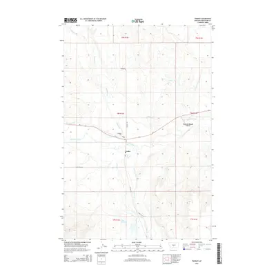
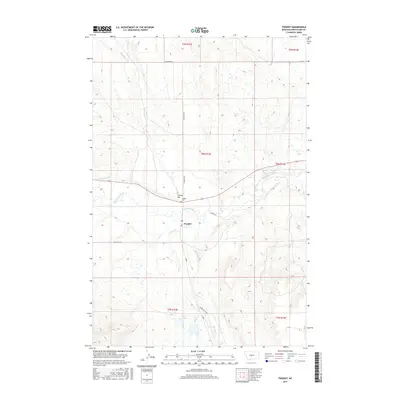
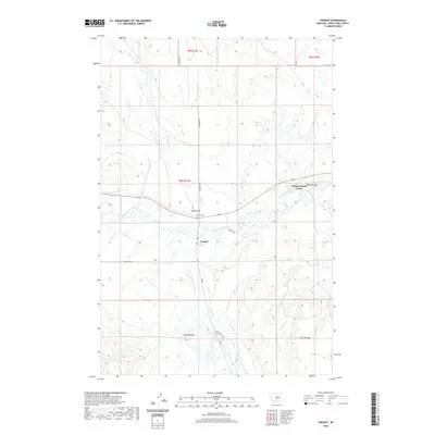
Editions of this 1972 Twodot Map
This is the sole edition of this map. No revisions or reprints were ever made.
Historical Maps of Duncan Ranch Hutterite Colony Through Time
6 maps found