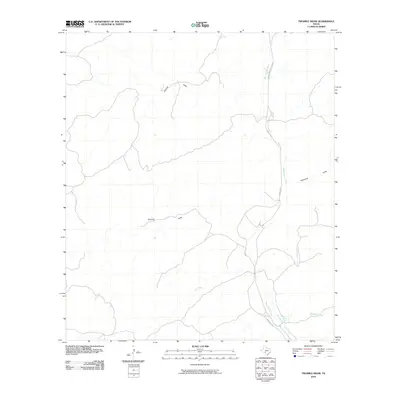
2010 Map of Twomile Draw
USGS Topo · Published 2010About this map
Kickapoo Spring stands as a vital water source in this arid stretch of Edwards County, where the hydrological pattern is defined by ephemeral drainage systems. The landscape is dominated by the winding course of the West Nueces River, which serves as the primary artery for the region's watershed. A series of sequential drainages, including Twomile Draw, Threemile Draw, and Fivemile Draw, illustrate the precise naming conventions used by early inhabitants to navigate this section of the Edwards Plateau.
Find a feature on this map
10 named features on this map. Tap any name to fly to it.
Don’t see what you’re looking for? This feature index may not catch every label — zoom into the map to look around manually.
Map Details
Editions of this 2010 Twomile Draw Map
This is the sole edition of this map. No revisions or reprints were ever made.
Other maps of this area

1893 · Nueces
USGS Topo · 1:125,000

1896 · Nueces
USGS Topo · 1:125,000

1943 · Carta Valley
USGS Topo · 1:62,500

1944 · Flat Rock
USGS Topo · 1:62,500

1944 · Indian Creek
USGS Topo · 1:62,500

1944 · Indian Mountain
USGS Topo · 1:62,500

1958 · Del Rio
USGS Topo · 1:250,000

1964 · Del Rio
USGS Topo · 1:250,000
1967 · Indian Mountain
USGS Topo · 1:24,000
1971 · Carta Valley NE
USGS Topo · 1:24,000