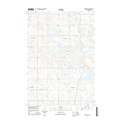
2015 Map of Twomile Lake
USGS Topo · Published 2015About this map
Twomile Lake and a series of numerically named water bodies define this portion of the Coteau des Prairies in northeastern South Dakota. The landscape is characterized by a dense concentration of glacial potholes and sloughs, including Goose Lake, Threemile Lake, and Fourmile Lake, which sit amidst a rigid grid of section-line roads like 430th Ave and 115th St. This 2015 survey reveals how the local topography and hydrology dictate the placement of transportation routes, such as the winding path of CR-5 as it navigates around the margins of Horseshoe Lake and Clubhouse Slough. Historically significant landforms such as Oak Gulch and Parsons Pass provide natural breaks in the elevated plateau. The map details the precise alignment of the Public Land Survey System, showing the townships of t126n r57w and t126n r56w as they divide this water-rich prairie terrain.
Find a feature on this map
31 named features on this map. Tap any name to fly to it.
Don’t see what you’re looking for? This feature index may not catch every label — zoom into the map to look around manually.
Map Details
Editions of this 2015 Twomile Lake Map
This is the sole edition of this map. No revisions or reprints were ever made.
Other maps of this area

1953 · Britton East
USGS Topo · 1:24,000

1953 · Milbank
USGS Topo · 1:250,000

1954 · Kidder SE
USGS Topo · 1:24,000

1958 · Milbank
USGS Topo · 1:250,000

1958 · Britton 4 NW
USGS Topo · 1:24,000

1958 · Hillhead
USGS Topo · 1:24,000

1958 · Britton 4 SW
USGS Topo · 1:24,000

1970 · Eden
USGS Topo · 1:24,000

1970 · Britton 4 NE
USGS Topo · 1:24,000

1970 · Lake City
USGS Topo · 1:24,000