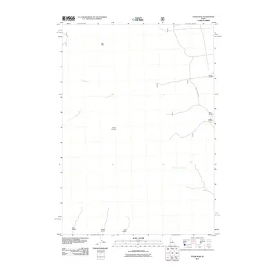
2011 Map of Tyler Peak
USGS Topo · Published 2011About this map
Tyler Peak and Saddle Mountain dominate this Butte County landscape, which is defined by a series of deep drainage systems that flow into the larger valley. The terrain is marked by significant hydrological features such as Kyle Spring and the converging paths of Middle Fork Kyle Canyon and South Fork Kyle Canyon in the southeastern portion of the quadrangle. Human infrastructure is minimal in this high-elevation area, represented primarily by Mahogany Butte Rd, which provides access through the eastern canyons. The western side of the map reveals the upper reaches of Black Canyon, Middle Canyon, and East Canyon, showing a repetitive geological pattern of parallel drainages. This 2011 survey documents a relatively untouched mountain environment where water sources like South Creek and Camp Creek are the primary points of interest for those navigating the high country.
Find a feature on this map
14 named features on this map. Tap any name to fly to it.
Don’t see what you’re looking for? This feature index may not catch every label — zoom into the map to look around manually.
Map Details
Editions of this 2011 Tyler Peak Map
This is the sole edition of this map. No revisions or reprints were ever made.
Other maps of this area

1955 · Dubois
USGS Topo · 1:250,000

1955 · Idaho Falls
USGS Topo · 1:250,000

1957 · Diamond Peak
USGS Topo · 1:62,500

1958 · Dubois
USGS Topo · 1:250,000

1958 · Idaho Falls
USGS Topo · 1:250,000

1969 · Little Lost River Sinks
USGS Topo · 1:24,000

1969 · Eightmile Canyon
USGS Topo · 1:24,000

1969 · Richard Butte
USGS Topo · 1:24,000

1969 · Tyler Peak
USGS Topo · 1:24,000

1969 · Howe
USGS Topo · 1:24,000