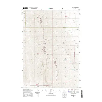
2013 Map of Tyler Peak
USGS Topo · Published 2013About this map
Tyler Peak stands as the primary landmark in this section of the Lemhi Range, where the boundary between the Challis National Forest and Targhee National Forest follows the high ridgelines. The terrain is defined by a series of significant drainages, including Tyler Canyon, Bartel Canyon, and Deer Canyon, which carve through the high-elevation landscape. This 2013 survey illustrates a wilderness nearly devoid of human infrastructure, save for the presence of Mahogany Butte Rd on the eastern edge. The complex topography is further marked by Saddle Mtn and Black Canyon, while seasonal water sources like Kyle Spring and Camp Cr provide critical points of interest in this arid environment. The map captures the meeting point of Butte and Clark counties, showing how administrative lines were drawn across the dramatic heights of the Idaho interior.
Find a feature on this map
27 named features on this map. Tap any name to fly to it.
Don’t see what you’re looking for? This feature index may not catch every label — zoom into the map to look around manually.
Map Details
Editions of this 2013 Tyler Peak Map
This is the sole edition of this map. No revisions or reprints were ever made.
Other maps of this area

1955 · Dubois
USGS Topo · 1:250,000

1955 · Idaho Falls
USGS Topo · 1:250,000

1957 · Diamond Peak
USGS Topo · 1:62,500

1958 · Dubois
USGS Topo · 1:250,000

1958 · Idaho Falls
USGS Topo · 1:250,000

1969 · Little Lost River Sinks
USGS Topo · 1:24,000

1969 · Eightmile Canyon
USGS Topo · 1:24,000

1969 · Richard Butte
USGS Topo · 1:24,000

1969 · Tyler Peak
USGS Topo · 1:24,000

1969 · Howe
USGS Topo · 1:24,000