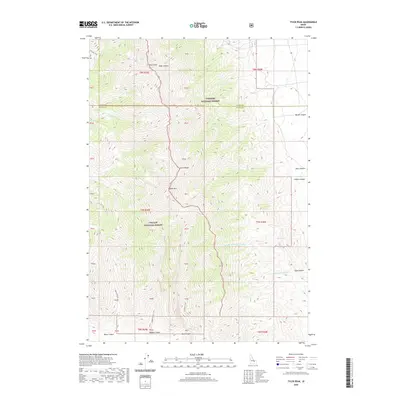
2020 Map of Tyler Peak
USGS Topo · Published 2020About this map
The Lemhi Range dominates this portion of Butte County, where the high-altitude divide separates the Targhee National Forest to the north and east from the Challis National Forest to the west. This territory is defined by its deep drainages and prominent summits, notably Tyler Peak and Saddle Mtn. The landscape is etched with steep ravines such as Tyler Canyon, Black Canyon, and Middle Canyon, which serve as natural conduits through the difficult terrain.
Find a feature on this map
46 named features on this map. Tap any name to fly to it.
Don’t see what you’re looking for? This feature index may not catch every label — zoom into the map to look around manually.
Map Details
Editions of this 2020 Tyler Peak Map
This is the sole edition of this map. No revisions or reprints were ever made.
Other maps of this area

1955 · Dubois
USGS Topo · 1:250,000

1955 · Idaho Falls
USGS Topo · 1:250,000

1957 · Diamond Peak
USGS Topo · 1:62,500

1958 · Dubois
USGS Topo · 1:250,000

1958 · Idaho Falls
USGS Topo · 1:250,000

1969 · Little Lost River Sinks
USGS Topo · 1:24,000

1969 · Eightmile Canyon
USGS Topo · 1:24,000

1969 · Richard Butte
USGS Topo · 1:24,000

1969 · Tyler Peak
USGS Topo · 1:24,000

1969 · Howe
USGS Topo · 1:24,000