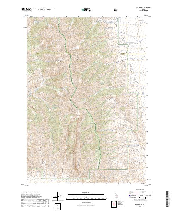
2023 Map of Tyler Peak
USGS Topo · Published 2023About this map
Tyler Peak and Saddle Mtn dominate the high-altitude topography of the Lemhi Range along the border of Clark and Butte Counties. This modern topographic study reveals a landscape defined by sharp drainage divides and protected lands, straddling the boundary between the Targhee National Forest and Challis National Forest. The map documents a network of backcountry paths, including the South Creek Trl, Black Canyon Trl, and Middle Canyon Trl, which provide the primary access to these remote reaches. Steep-walled features like Bartel Canyon and Cedar Canyon cut through the terrain, while reliable water sources are few, evidenced by the isolated Kyle Spring. The lack of permanent structures emphasizes the wilderness character of this portion of the northern Lemhi Range.
Find a feature on this map
44 named features on this map. Tap any name to fly to it.
Don’t see what you’re looking for? This feature index may not catch every label — zoom into the map to look around manually.
Map Details
Editions of this 2023 Tyler Peak Map
This is the sole edition of this map. No revisions or reprints were ever made.
Other maps of this area

1955 · Dubois
USGS Topo · 1:250,000

1955 · Idaho Falls
USGS Topo · 1:250,000

1957 · Diamond Peak
USGS Topo · 1:62,500

1958 · Dubois
USGS Topo · 1:250,000

1958 · Idaho Falls
USGS Topo · 1:250,000

1969 · Little Lost River Sinks
USGS Topo · 1:24,000

1969 · Eightmile Canyon
USGS Topo · 1:24,000

1969 · Richard Butte
USGS Topo · 1:24,000

1969 · Tyler Peak
USGS Topo · 1:24,000

1969 · Howe
USGS Topo · 1:24,000