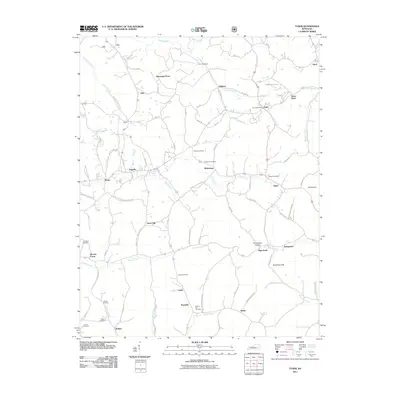
2011 Map of Tyner
USGS Topo · Published 2011About this map
Tyner and its Tyner Post Office serve as a central hub for this corner of Jackson County, where a network of ridge-top roads connects numerous small agricultural and timber communities. The landscape is defined by the deep dissection of the plateau, where Pond Creek and Moores Creek carve paths through the terrain. Evidence of the area's long-established family ties is visible in the high density of small cemeteries, such as Dunn Cemetery, Castee Cemetery, and Walnut Hill Cemetery, which are often located near older road junctions or homesteads. The transition from larger settlements like Annville to more isolated points such as Mildred and Blooming Grove reflects the traditional Kentucky pattern of ridge-and-hollow habitation. Local landmarks like High Knob and Swindling Gap provide essential navigational anchors in a region where the topography dictated the historical flow of trade and travel toward the south and east.
Find a feature on this map
99 named features on this map. Tap any name to fly to it.
Don’t see what you’re looking for? This feature index may not catch every label — zoom into the map to look around manually.
Map Details
Editions of this 2011 Tyner Map
This is the sole edition of this map. No revisions or reprints were ever made.
Other maps of this area

1891 · Manchester
USGS Topo · 1:125,000

1893 · London
USGS Topo · 1:125,000

1897 · London
USGS Topo · 1:125,000

1952 · Portersburg
USGS Topo · 1:24,000

1952 · Manchester
USGS Topo · 1:24,000

1952 · London
USGS Topo · 1:24,000

1953 · Mc Kee
USGS Topo · 1:24,000

1953 · Sandgap
USGS Topo · 1:24,000

1953 · Tyner
USGS Topo · 1:24,000

1953 · Parrot
USGS Topo · 1:24,000