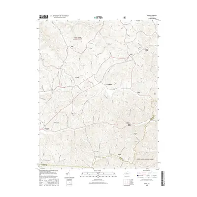
2016 Map of Tyner
USGS Topo · Published 2016About this map
Daniel Boone National Forest encompasses large portions of this Jackson County landscape, where the terrain is marked by prominent elevations like High Knob and Zekes Point. The settlement pattern is characterized by small, dispersed communities linked by a dense network of mountain roads such as Bailey Rd and Mildred Rd. Larger local hubs like Annville and Tyner serve as focal points for the surrounding rural homesteads and valley farms.
Find a feature on this map
89 named features on this map. Tap any name to fly to it.
Don’t see what you’re looking for? This feature index may not catch every label — zoom into the map to look around manually.
Map Details
Editions of this 2016 Tyner Map
This is the sole edition of this map. No revisions or reprints were ever made.
Other maps of this area

1891 · Manchester
USGS Topo · 1:125,000

1893 · London
USGS Topo · 1:125,000

1897 · London
USGS Topo · 1:125,000

1952 · Portersburg
USGS Topo · 1:24,000

1952 · Manchester
USGS Topo · 1:24,000

1952 · London
USGS Topo · 1:24,000

1953 · Mc Kee
USGS Topo · 1:24,000

1953 · Sandgap
USGS Topo · 1:24,000

1953 · Tyner
USGS Topo · 1:24,000

1953 · Parrot
USGS Topo · 1:24,000