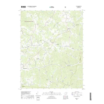
2019 Map of Tyner
USGS Topo · Published 2019About this map
The Daniel Boone National Forest covers much of this section of the Cumberland Plateau, where the landscape is defined by the sharp relief between winding creek bottoms and high ridges. Significant local family history is anchored at the crossroads of Annville and Tyner, with numerous small burial grounds such as Dunn Cem, Castee Cem, and Walnut Hill Cem scattered across the upland farms. The drainage pattern is intricate, with Laurel Fork and Pond Cr carving deep into the terrain near settlements like Welchburg and Egypt. High points such as Zekes Point and Yates Knob overlook a network of rural routes, including Moores Creek Green Hill Rd and Greenhill Welchburg Rd, which trace the narrow ridgelines and valley floors that have historically dictated the placement of homesteads and schools in this part of Jackson County.
Find a feature on this map
117 named features on this map. Tap any name to fly to it.
Don’t see what you’re looking for? This feature index may not catch every label — zoom into the map to look around manually.
Map Details
Editions of this 2019 Tyner Map
This is the sole edition of this map. No revisions or reprints were ever made.
Other maps of this area

1891 · Manchester
USGS Topo · 1:125,000

1893 · London
USGS Topo · 1:125,000

1897 · London
USGS Topo · 1:125,000

1952 · Portersburg
USGS Topo · 1:24,000

1952 · Manchester
USGS Topo · 1:24,000

1952 · London
USGS Topo · 1:24,000

1953 · Mc Kee
USGS Topo · 1:24,000

1953 · Sandgap
USGS Topo · 1:24,000

1953 · Tyner
USGS Topo · 1:24,000

1953 · Parrot
USGS Topo · 1:24,000