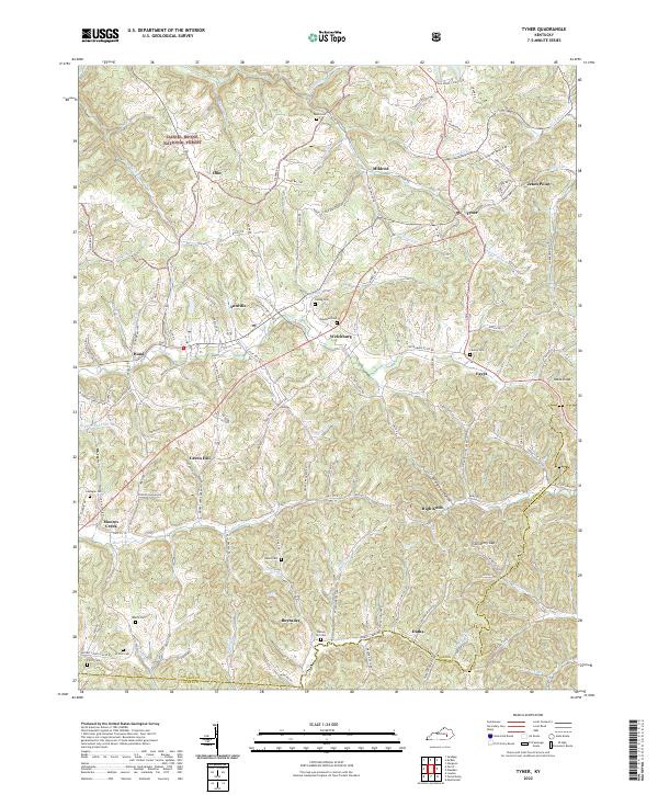
2022 Map of Tyner
USGS Topo · Published 2022About this map
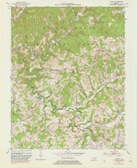
Daniel Boone National Forest encompasses the western portion of this landscape, where the settlements of Annville and Tyner serve as focal points for a network of rural roads and ridge-top communities. The terrain is defined by its deep drainages, including the headwaters of Pond Cr and Moores Cr, which dictate the placement of local homesteads and small hamlets like Welchburg and Egypt. Family history is deeply rooted in the landscape, evidenced by numerous burial sites such as Castee Cem, Dunn Cem, and Walnut Hill Cem that dot the hillsides.
Find a feature on this map
125 named features on this map. Tap any name to fly to it.
Don’t see what you’re looking for? This feature index may not catch every label — zoom into the map to look around manually.
Map Details
Editions of this 2022 Tyner Map
This is the sole edition of this map. No revisions or reprints were ever made.
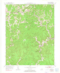
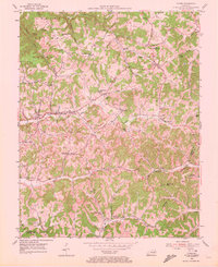
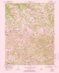
Historical Maps of Moores Creek Through Time
12 maps found
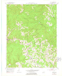
1952 Alcorn
Jackson County, KY
1952 Leighton
Jackson County, KY
1953 Mc Kee
Jackson County, KY
1953 Parrot
Jackson County, KY
1953 Sandgap
Jackson County, KY
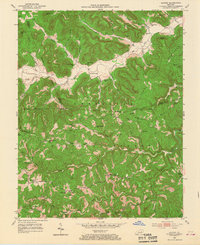
1953 Tyner
Jackson County, KY
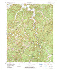
1976 Tyner
Jackson County, KY
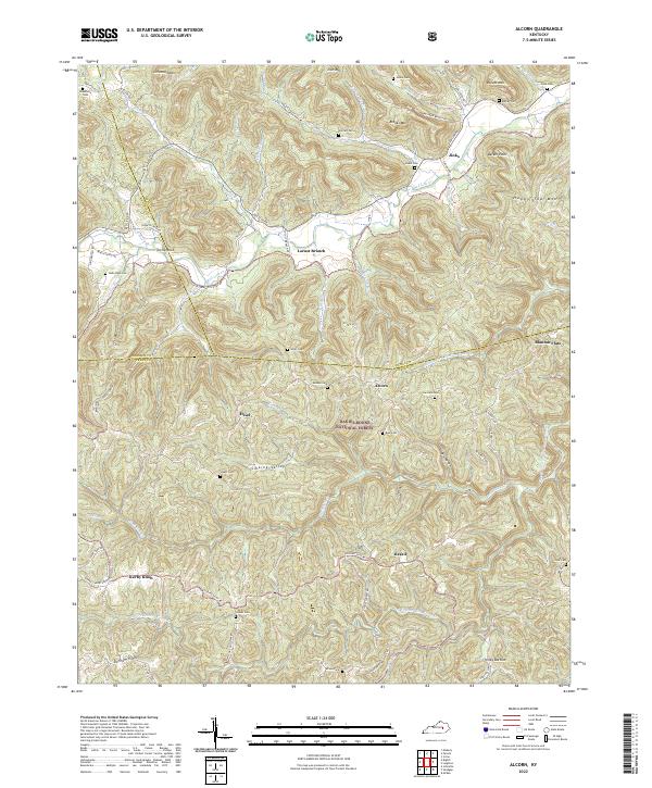
2022 Alcorn
Jackson County, KY
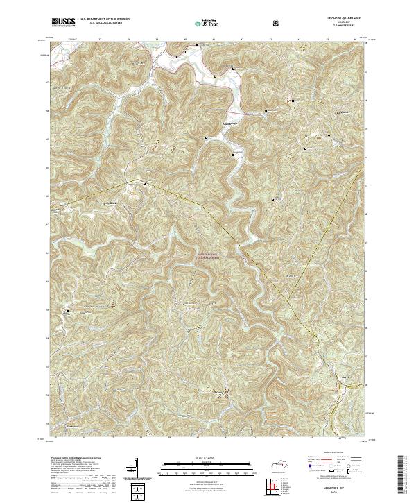
2022 Leighton
Jackson County, KY
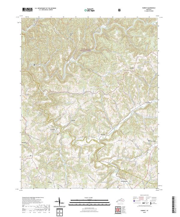
2022 Parrot
Jackson County, KY
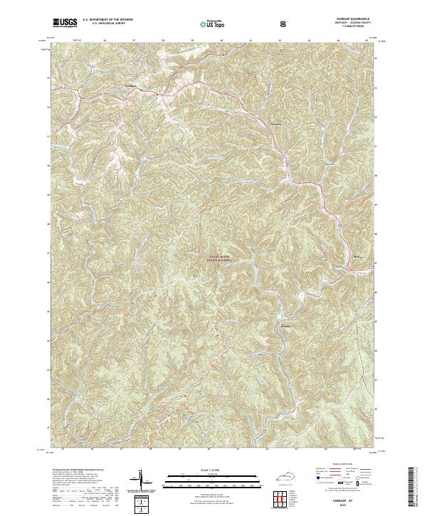
2022 Sandgap
Jackson County, KY
2022 Tyner
Jackson County, KY