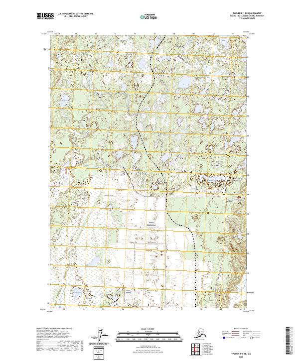
2023 Map of Tyonek B-1 NE
USGS Topo · Published 2023About this map
Point MacKenzie serves as the focal point for this interior Alaskan landscape, characterized by a grid of agricultural and transport-oriented roads. Named thoroughfares like Ayrshire Avenue, Jersey Avenue, and Holstein Avenue suggest a history tied to dairy farming or ranching infrastructure in the Matanuska-Susitna region. The Little Susitna River meanders through the western section of the map, carving through terrain dotted with numerous water bodies including Middle Lake and Yohn Lake.
Find a feature on this map
28 named features on this map. Tap any name to fly to it.
Don’t see what you’re looking for? This feature index may not catch every label — zoom into the map to look around manually.
Map Details
Editions of this 2023 Tyonek B-1 NE Map
This is the sole edition of this map. No revisions or reprints were ever made.
Other maps of this area

1949 · Tyonek
USGS Topo · 1:250,000

1950 · Anchorage C-8
USGS Topo · 1:63,360

1951 · Anchorage
USGS Topo · 1:250,000

1951 · Tyonek
USGS Topo · 1:250,000

1952 · Anchorage C-8
USGS Topo · 1:63,360

1952 · Tyonek C-1
USGS Topo · 1:63,360

1952 · Anchorage B-8
USGS Topo · 1:63,360

1953 · Anchorage B-8
USGS Topo · 1:63,360

1958 · Tyonek B-1
USGS Topo · 1:63,360

1958 · Tyonek C-1
USGS Topo · 1:63,360